Alcoa Station
Alcoa Station is an electrical substation in Saint Lawrence, New York. Alcoa Station is situated nearby to Alcoa Park, as well as near the islet Long Sault Islands.| Tap on a place to explore it |
Places in the Area
Nearby places include Massena and Dickinson’s Landing.
Massena
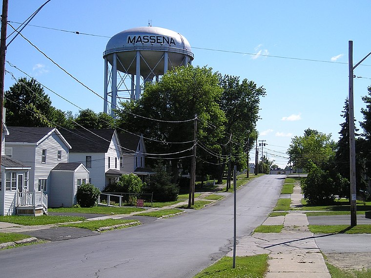
Photo: Gary Stevens, CC BY 2.0.
Massena is in upstate New York right on the Saint Lawrence River which forms the border with Canada. There is a bridge to the Canadian town of Cornwall a few miles downriver.
Dickinson’s Landing
Locality
Dickinson's Landing is an underwater ghost town in the Canadian province of Ontario. It is one of Ontario's Lost Villages, which were permanently flooded by the creation of the St. Dickinson’s Landing is situated 2½ miles northwest of Alcoa Station.
Santa Cruz
Locality
Santa Cruz is an underwater ghost town in the Canadian province of Ontario. It is one of Ontario's Lost Villages, which were permanently flooded by the creation of the St. Santa Cruz is situated 3 miles northwest of Alcoa Station.
Alcoa Station
- Type: Electrical substation
- Category: industry
- Location: Saint Lawrence, New York, Mid-Atlantic, United States, North America
- View on OpenStreetMap
Latitude
44.96188° or 44° 57′ 43″ northLongitude
-74.89171° or 74° 53′ 30″ westOperator
National Grid plcOpen location code
87P7X465+Q8OpenStreetMap ID
way 1215785989
This page is based on OpenStreetMap, Wikidata, and Wikimedia Commons.
We’d love your help improving our open data sources. Thank you for contributing.
Satellite Map
Discover Alcoa Station from above in high-definition satellite imagery.
Notable Places Nearby
Highlights include Massena Energy Facility and Pine Grove Chapel.
Nearby Places
Explore places such as Alcoa Massena Operations - West Plant and Arconic Massena Operations.
New York: Must-Visit Destinations
Delve into New York City, Buffalo, Manhattan, and West Side.
Curious Electrical Substations to Discover
Uncover intriguing electrical substations from every corner of the globe.
About Mapcarta. Data © OpenStreetMap contributors and available under the Open Database License". Text is available under the CC BY-SA 4.0 license, except for photos, directions, and the map. Photo: Jeffrey Johnson, CC BY-SA 2.0.