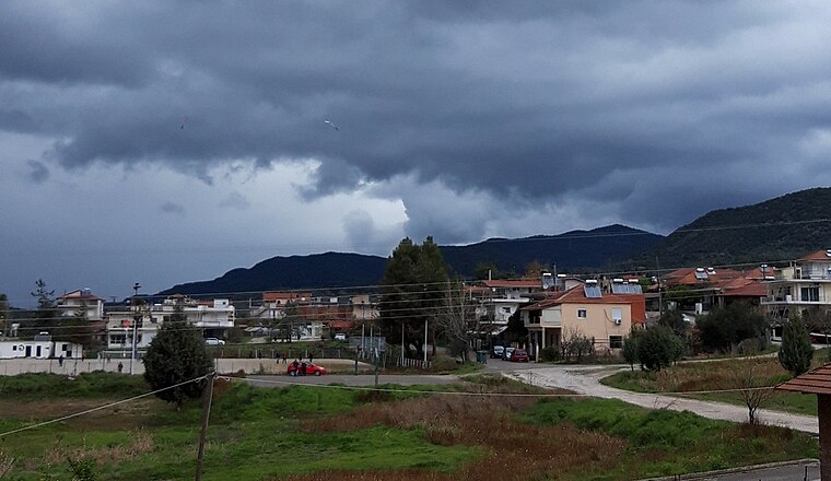
Vlacherna Agrinio - Paragliding Takeoff
Vlacherna Agrinio - Paragliding Takeoff is a pitch in Agrinio, West Central Greece, West Greece. Vlacherna Agrinio - Paragliding Takeoff is situated nearby to the church Αγία Βλαχέρνα-Παναγία Των Βλαχερνών, as well as near the village Triantaiika.| Tap on a place to explore it |
Places of Interest Nearby
Highlights include Agrinium and Archaeological Museum of Agrinio.
Agrinium
Archaeological site
Agrinium or Agrinion was a town of ancient Aetolia, situated towards the northwest of Aetolia, near the Achelous River. Its name suggested that it was a town of the Agraei; but the narrative in Polybius would imply that it was not so far north. Agrinium is situated 1½ km southwest of Vlacherna Agrinio - Paragliding Takeoff.
Archaeological Museum of Agrinio
Museum
The Archaeological Museum of Agrinio is a museum in the city of Agrinio in Aetolia-Acarnania, in Greece. It lies next to the Papastrateio Municipal Park and features artifacts dating back to Antiquity and Roman times from the area around Agrinio. Archaeological Museum of Agrinio is situated 3 km south of Vlacherna Agrinio - Paragliding Takeoff.
Dimokratias Square
Recreation area
Dimokratias Square is the central square of the city of Agrinio. The square was created in 1879 when Michail Bellos was mayor, and was long named Bellou Square after him. Dimokratias Square is situated 3½ km south of Vlacherna Agrinio - Paragliding Takeoff.
Places in the Area
Nearby places include Triantaiika and Stratos.
Stratos
Village
Stratos is a settlement in central Aetolia-Acarnania, Western Greece. It is best known for its remains of the namesake ancient Greek city and capital of Acarnania, which lie on a hillside about 500m north of the modern village. Stratos is situated 7 km west of Vlacherna Agrinio - Paragliding Takeoff.
Octhia
Village
Ochthia is an Aromanian village and a community of the Agrinio municipality. Before the 2011 local government reform it was part of the municipality Stratos, of which it was a municipal district. Octhia is situated 10 km west of Vlacherna Agrinio - Paragliding Takeoff.
Vlacherna Agrinio - Paragliding Takeoff
- Type: Pitch
- Categories: recreation area, air sports, and sports location
- Location: Agrinio, West Central Greece, West Greece, Central Greece, Greece, Balkans, Europe
- View on OpenStreetMap
Latitude
38.65461° or 38° 39′ 17″ northLongitude
21.39727° or 21° 23′ 50″ eastOpen location code
8GC3M93W+RWOpenStreetMap ID
way 1216013575OpenStreetMap feature
leisure=pitchOpenStreetMap feature
sport=free_flying
This page is based on OpenStreetMap, Wikidata, and Wikimedia Commons.
We’d love your help improving our open data sources. Thank you for contributing.
Satellite Map
Discover Vlacherna Agrinio - Paragliding Takeoff from above in high-definition satellite imagery.
In Other Languages
“Vlacherna Agrinio - Paragliding Takeoff” goes by many names.
- Greek: “Βλαχέρνα Αγρινίου - Απογείωση Αλεξιπτώτου Πλαγιάς”
Notable Places Nearby
Highlights include Αγία Βλαχέρνα-Παναγία Των Βλαχερνών and Ι.Ν. Αποστόλων Πέτρου και Παύλου.
Nearby Places
Explore places such as ΕΤΕΚΑ and Εμπόριο Ξυλείας Σκαβαράς.
West Central Greece: Must-Visit Destinations
Delve into Delphi, Thebes, Lamia, and Itea.
Curious Pitches to Discover
Uncover intriguing pitches from every corner of the globe.
About Mapcarta. Data © OpenStreetMap contributors and available under the Open Database License". Text is available under the CC BY-SA 4.0 license, except for photos, directions, and the map. Photo: Wikimedia, CC0.