Parking Halte Routière
Parking Halte Routière is a parking area in Châteaurenard, Arrondissement of Arles, Provence-Alpes-Côte d’Azur. Parking Halte Routière is situated nearby to the community center Maison Des Jeunes Et De La Culture, as well as near the square Place Victoire.| Tap on a place to explore it |
Places of Interest Nearby
Highlights include Town hall of Châteaurenard and Château de Châteaurenard.
Town hall of Châteaurenard
Town hall

Photo: Véronique PAGNIER, CC BY-SA 3.0.
Town hall of Châteaurenard is situated 190 metres east of Parking Halte Routière.
Château de Châteaurenard
Castle

Photo: MattMoissa, CC BY-SA 3.0.
The Château de Châteaurenard is a ruined castle in the commune of Château-Renard in the Loiret département of France. Château de Châteaurenard is situated 310 metres east of Parking Halte Routière.
Église Saint Denys
Church

Photo: ADSUBIA, CC BY-SA 3.0.
Église Saint Denys is a church, which is situated 210 metres east of Parking Halte Routière.
Places in the Area
Nearby places include Châteaurenard and Rognonas.
Châteaurenard
Town

Photo: Wikimedia, CC BY-SA 3.0.
Châteaurenard is a commune in the Arles arrondissement, in the Bouches-du-Rhône department, in the Provence-Alpes-Côte d'Azur region, in southern France.
Rognonas
Village
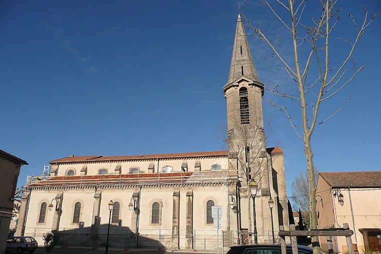
Photo: Wikimedia, CC BY-SA 3.0.
Rognonas is a commune in the Bouches-du-Rhône department in southern France. Rognonas is situated 4½ km northwest of Parking Halte Routière.
Graveson
Village

Photo: Wikimedia, CC BY-SA 3.0.
Graveson is a commune in the Bouches-du-Rhône department in southern France. Graveson is situated 7 km southwest of Parking Halte Routière.
Parking Halte Routière
- Type: Parking area
- Parking: surface
- Category: transportation
- Location: Châteaurenard, Arrondissement of Arles, Bouches-du-Rhône, Provence-Alpes-Côte d’Azur, France, Europe
- View on OpenStreetMap
Latitude
43.88202° or 43° 52′ 55″ northLongitude
4.85317° or 4° 51′ 11″ eastOpen location code
8FM6VVJ3+R7OpenStreetMap ID
way 1216307009OpenStreetMap feature
amenity=parkingOpenStreetMap attribute
parking=surface
This page is based on OpenStreetMap, Wikidata, and Wikimedia Commons.
We’d love your help improving our open data sources. Thank you for contributing.
Satellite Map
Discover Parking Halte Routière from above in high-definition satellite imagery.
Notable Places Nearby
Highlights include Maison Des Jeunes Et De La Culture and Place Victoire.
Nearby Places
Explore places such as Châteaurenard - Halte Routière and Utile.
Bouches-du-Rhône: Must-Visit Destinations
Delve into Marseille, Aix-en-Provence, Arles, and Salon-de-Provence.
Curious Parking Areas to Discover
Uncover intriguing parking areas from every corner of the globe.
About Mapcarta. Data © OpenStreetMap contributors and available under the Open Database License". Text is available under the CC BY-SA 4.0 license, except for photos, directions, and the map. Photo: Benh, CC BY-SA 3.0.