Corral del Coto
Corral del Coto is a ruins in Villalonga Municipality, Valencia, Valencian Community. Corral del Coto is situated nearby to the hill la Creueta, as well as near the recreation area Zona Recreativa.| Tap on a place to explore it |
Places of Interest Nearby
Highlights include Capella de la Mare de Déu de la Font, Vilallonga and Castell de Forna.
Capella de la Mare de Déu de la Font, Vilallonga
Church

Photo: 19Tarrestnom65, CC BY-SA 4.0.
Capella de la Mare de Déu de la Font, Vilallonga is a church, which is situated 2 km north of Corral del Coto.
Castell de Forna
Castle

Photo: Melibokus, CC BY-SA 3.0.
Castell de Forna is a castle, which is situated 3½ km east of Corral del Coto.
Church of the Three Kings
Church

Photo: 19Tarrestnom65, CC BY-SA 4.0.
Church of the Three Kings is situated 2 km north of Corral del Coto.
Places in the Area
Nearby places include Forna and La Vall de Gallinera.
Forna
Hamlet

Photo: Joanbanjo, CC BY-SA 3.0.
Forna is a hamlet, which is situated 3½ km east of Corral del Coto.
La Vall de Gallinera
Village

Photo: Joseaperez, CC BY-SA 3.0.
La Vall de Gallinera is a valley and a municipality in north-east Alicante, Spain, included in the Marina Alta comarca. It is formed by the nuclei of Benirrama, Benialí, Benissivà, Benitaia, Carroja, Alpatró, Llombai and Benissili. La Vall de Gallinera is situated 5 km south of Corral del Coto.
Benialí
Village
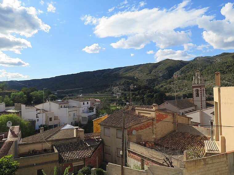
Photo: Víctor Eclipsado, CC BY-SA 4.0.
Benialí is a village, which is situated 5 km south of Corral del Coto.
Corral del Coto
- Type: Ruins
- Category: building
- Location: Villalonga Municipality, Valencia, Valencian Community, Eastern Spain, Spain, Iberia, Europe
- View on OpenStreetMap
Latitude
38.86637° or 38° 51′ 59″ northLongitude
-0.21215° or 0° 12′ 44″ westOpen location code
8CCXVQ8Q+G4OpenStreetMap ID
way 1223001958OpenStreetMap feature
building=ruinsOpenStreetMap feature
man_made=sheepfold
This page is based on OpenStreetMap, Wikidata, and Wikimedia Commons.
We’d love your help improving our open data sources. Thank you for contributing.
Satellite Map
Discover Corral del Coto from above in high-definition satellite imagery.
Notable Places Nearby
Highlights include la Creueta and Zona Recreativa.
Nearby Places
Explore places such as Corral de les Saleretes and Deposito de Agua Potable.
Valencia: Must-Visit Destinations
Delve into Valencia, Sagunto, Gandía, and Xàtiva.
Curious Ruins to Discover
Uncover intriguing ruins from every corner of the globe.
About Mapcarta. Data © OpenStreetMap contributors and available under the Open Database License". Text is available under the CC BY-SA 4.0 license, except for photos, directions, and the map. Photo: andruby, CC BY 2.0.