CDL-Salvador
CDL-Salvador is a public building in Salvador, Grande Salvador, Bahia. CDL-Salvador is situated nearby to the public building INSS, as well as near the college Gregor Mandel Vestibular.| Tap on a place to explore it |
Places of Interest Nearby
Highlights include Largo dos Aflitos and Passeio Público.

Passeio Público
Park

Photo: Luan, CC BY-SA 3.0 br.
Passeio Público is a park, which is situated 190 metres west of CDL-Salvador.
Igreja do Senhor Bom Jesus dos Aflitos
Church

Photo: Wikimedia, CC BY-SA 4.0.
Igreja do Senhor Bom Jesus dos Aflitos is a church, which is situated 120 metres north of CDL-Salvador.
Places in the Area
Nearby places include Graça and Água de Meninos.
Graça
Suburb

Photo: Sailko, CC BY-SA 4.0.
Graça is a neighborhood located in the southern zone of Salvador, Bahia. It is one of the oldest neighborhoods in Salvador. The Church and Monastery of Our Lady of Grace is located in Graça.
Água de Meninos
Neighborhood

Photo: Wikimedia, CC BY-SA 4.0.
Água de Meninos is a neighborhood, which is situated 3½ km northeast of CDL-Salvador.
Horto Bela Vista
Neighborhood
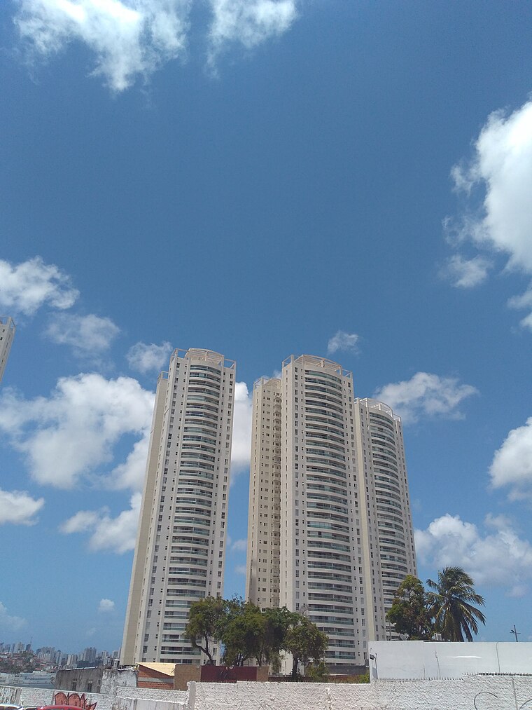
Photo: Ajmcbarreto, CC BY-SA 4.0.
Horto Bela Vista is a neighborhood, which is situated 5 km east of CDL-Salvador.
CDL-Salvador
- Type: Public building
- Categories: building, office, financial services, and government building
- Location: Salvador, Grande Salvador, Bahia, Northeast, Brazil, South America
- View on OpenStreetMap
Latitude
-12.98505° or 12° 59′ 6″ southLongitude
-38.51946° or 38° 31′ 10″ westOpen location code
59V32F7J+X6OpenStreetMap ID
way 1225010277OpenStreetMap feature
building=publicOpenStreetMap feature
office=financial
This page is based on OpenStreetMap, Wikidata, and Wikimedia Commons.
We’d love your help improving our open data sources. Thank you for contributing.
Satellite Map
Discover CDL-Salvador from above in high-definition satellite imagery.
Notable Places Nearby
Highlights include INSS and Gregor Mandel Vestibular.
Nearby Places
Explore places such as SEMGE and Posto Petrobras.
Grande Salvador: Must-Visit Destinations
Delve into Santo Antônio de Jesus, Cachoeira, Itaparica, and Praia do Forte.
Curious Public Buildings to Discover
Uncover intriguing public buildings from every corner of the globe.
About Mapcarta. Data © OpenStreetMap contributors and available under the Open Database License". Text is available under the CC BY-SA 4.0 license, except for photos, directions, and the map. Photo: Wikimedia, CC0.