Fabriksteich
Fabriksteich is a pond in Klagenfurt, Carinthia. Access is restricted and requires permission. Fabriksteich is situated nearby to the fountain Marienbrunnen, as well as near the playground Spielplatz Josefinum.| Tap on a place to explore it |
Places of Interest Nearby
Highlights include University of Klagenfurt and Minimundus.
University of Klagenfurt
University

Photo: Uniklupresse, CC BY-SA 3.0.
The University of Klagenfurt is a federal Austrian research university and the largest research and higher education institution in the state of Carinthia. University of Klagenfurt is situated 3 km north of Fabriksteich.
Minimundus
Theme park

Photo: Gegensystem, CC BY-SA 3.0.
Minimundus is a miniature park in Klagenfurt in Carinthia, Austria. It displays over 150 miniature models of architecture from around the world, built at a ratio of 1:25. Minimundus is situated 3½ km north of Fabriksteich.
Pfarrkirche hl. Florian in Viktring, Klagenfurt
Church

Photo: Johann Jaritz, CC BY-SA 4.0.
Pfarrkirche hl. Florian in Viktring, Klagenfurt is a church, which is situated 2 km east of Fabriksteich.
Places in the Area
Nearby places include Maria Rain and Krumpendorf am Wörthersee.
Maria Rain
Village

Photo: Joadl, CC BY-SA 3.0.
Maria Rain is a town in the district of Klagenfurt-Land in the Austrian state of Carinthia, known for its Baroque parish and pilgrimage church. Maria Rain is situated 3½ km southeast of Fabriksteich.
Krumpendorf am Wörthersee
Village

Photo: Wikimedia, Public domain.
Krumpendorf am Wörthersee is a municipality in Klagenfurt-Land District, in Carinthia, Austria. It is situated on the Wörthersee. Krumpendorf am Wörthersee is situated 6 km northwest of Fabriksteich.
Keutschach am See
Village
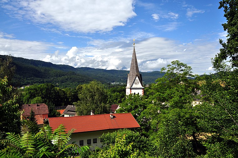
Photo: Johann Jaritz, CC BY-SA 3.0.
Keutschach am See is a municipality in the district of Klagenfurt-Land in the Austrian state of Carinthia. Keutschach am See is situated 6 km west of Fabriksteich.
Fabriksteich
- Access is restricted and requires permission.
- Type: Pond
- Category: body of water
- Location: Klagenfurt, Carinthia, Austria, Central Europe, Europe
- View on OpenStreetMap
Latitude
46.58938° or 46° 35′ 22″ northLongitude
14.26397° or 14° 15′ 50″ eastOpen location code
8FRPH7Q7+QHOpenStreetMap ID
way 1226331805OpenStreetMap feature
natural=waterOpenStreetMap feature
water=pond
This page is based on OpenStreetMap, Wikidata, and Wikimedia Commons.
We’d love your help improving our open data sources. Thank you for contributing.
Satellite Map
Discover Fabriksteich from above in high-definition satellite imagery.
Notable Places Nearby
Highlights include Marienbrunnen and Spielplatz Josefinum.
Nearby Places
Explore places such as Kleiner Treimischerteich and Marhaus.
Carinthia: Must-Visit Destinations
Delve into Villach, Wörthersee, Spittal an der Drau, and Friesach.
Curious Ponds to Discover
Uncover intriguing ponds from every corner of the globe.
About Mapcarta. Data © OpenStreetMap contributors and available under the Open Database License". Text is available under the CC BY-SA 4.0 license, except for photos, directions, and the map. Photo: Johann Jaritz, CC BY-SA 4.0.