Igreja
Igreja is a church in Santa Clara e Castelo Viegas, Coimbra. Igreja is situated nearby to Monastery of Santa Clara-a-Velha, as well as near the monastery Ruínas do Mosteiro.| Tap on a place to explore it |
Places of Interest Nearby
Highlights include Monastery of Santa Clara-a-Velha and Portugal dos Pequenitos.
Monastery of Santa Clara-a-Velha

Photo: Carlos Luis M C da Cruz, Public domain.
The ruins of the Monastery of Santa Clara-a-Velha are located in the city of Coimbra, in Portugal. The monastery was built in the 14th century on the left bank of the Mondego River, but had to be abandoned in the 17th century due to frequent floods.
Portugal dos Pequenitos
Theme park
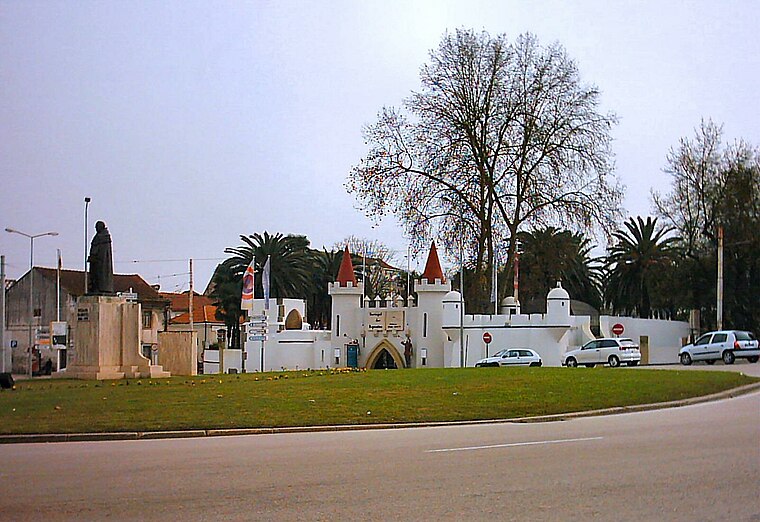
Photo: Juntas, Public domain.
The Portugal dos Pequenitos is a miniature park in the civil parish of Santa Clara e Castelo Viegas, in the municipality of Coimbra, in the Portuguese district of Coimbra. Portugal dos Pequenitos is situated 130 metres south of Igreja.
Centro Interpretativo do Mosteiro de Santa Clara-a-Velha
Museum

Photo: GualdimG, CC BY-SA 4.0.
Centro Interpretativo do Mosteiro de Santa Clara-a-Velha is a museum, which is situated 190 metres southeast of Igreja.
Places in the Area
Nearby places include Santa Clara and Sé Nova.
Santa Clara
Suburb
Santa Clara is a former civil parish in the municipality of Coimbra, Portugal. It was also known as São Francisco or São Francisco da Ponte after its foundation in 1855.
Sé Nova
Neighborhood

Photo: Alvesgaspar, CC BY-SA 3.0.
Sé Nova is a former civil parish in the municipality of Coimbra, Portugal. In 2013, it merged into the new parish Coimbra. Notable landmarks included the New Cathedral of Coimbra and Botanical Garden of the University of Coimbra.

Igreja
- Type: Church
- Categories: building, historic site, and religion
- Location: Santa Clara e Castelo Viegas, Coimbra, Coimbra District, Portugal, Iberia, Europe
- View on OpenStreetMap
Latitude
40.20276° or 40° 12′ 10″ northLongitude
-8.43344° or 8° 26′ 0″ westOpen location code
8CGH6H38+4JOpenStreetMap ID
way 122699908OpenStreetMap feature
building=churchOpenStreetMap feature
historic=church
This page is based on OpenStreetMap, Wikidata, and Wikimedia Commons.
We’d love your help improving our open data sources. Thank you for contributing.
Satellite Map
Discover Igreja from above in high-definition satellite imagery.
Places with the Same Name
Discover other places named “Igreja”.
Notable Places Nearby
Highlights include Ruínas do Mosteiro and Parque Verde do Mondego - Entrada Poente.
Nearby Places
Explore places such as Tasquinha da Ti Irene and Café Snack Bar Rainha Santa.
Portugal: Must-Visit Destinations
Delve into Lisbon, Caldas da Rainha, Porto, and Braga.
Curious Churches to Discover
Uncover intriguing churches from every corner of the globe.
About Mapcarta. Data © OpenStreetMap contributors and available under the Open Database License". Text is available under the CC BY-SA 4.0 license, except for photos, directions, and the map. Photo: Alvesgaspar, CC BY-SA 3.0.