Chapelle Saint-Jean-l’Évangéliste de Perpignan
Chapelle Saint-Jean-l’Évangéliste de Perpignan is a church in Perpignan, Pyrénées-Orientales, Occitanie. Chapelle Saint-Jean-l’Évangéliste de Perpignan is situated nearby to the museum Maison de la Catalanité, as well as near the government office CSNJ.| Tap on a place to explore it |
Photo: Claudefà, CC BY-SA 4.0.
- Type: Church
- Denomination: Catholic
- Description: chapel located in Pyrénées-Orientales, in France
- Also known as: “Chapelle funéraire Saint-Jean-l’Évangéliste” and “Funéraria”
Places of Interest Nearby
Highlights include Perpignan Cathedral and Campo Santo de Perpignan.
Perpignan Cathedral
Church

Photo: Wikimedia, CC BY-SA 3.0.
The Cathedral of Saint John the Baptist is a Roman Catholic cathedral, and a national monument of France, located in the town of Perpignan in Languedoc-Roussillon.
Campo Santo de Perpignan
Cemetery

Photo: Sylenius, CC BY-SA 3.0.
Campo Santo de Perpignan is a cemetery.

Places in the Area
Nearby places include Castell Rosselló and Cabestany.
Castell Rosselló
Hamlet
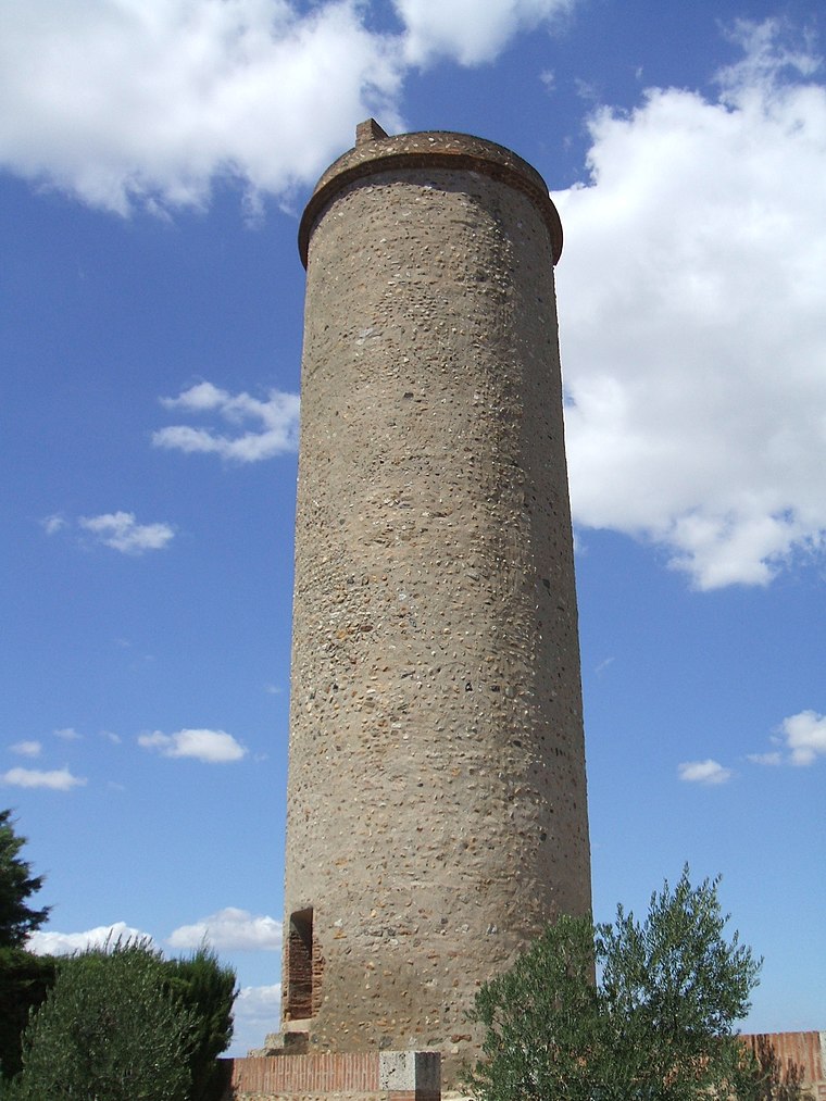
Photo: LeZibou, CC BY-SA 3.0.
Castell Rosselló is a hamlet, which is situated 4 km east of Chapelle Saint-Jean-l’Évangéliste de Perpignan.
Cabestany
Town

Photo: LySioS-wkp, CC BY-SA 4.0.
Cabestany is a commune in the Pyrénées-Orientales department in southern France. Cabestany is situated 4 km southeast of Chapelle Saint-Jean-l’Évangéliste de Perpignan.
Saint-Estève
Town

Photo: Indif, CC BY-SA 3.0.
Saint-Estève is a commune in the Pyrénées-Orientales department in southern France. Saint-Estève is situated 4½ km west of Chapelle Saint-Jean-l’Évangéliste de Perpignan.
Chapelle Saint-Jean-l’Évangéliste de Perpignan
- Categories: chapel, building, place of worship, and religion
- Location: Perpignan, Arrondissement of Perpignan, Pyrénées-Orientales, Occitanie, France, Europe
- View on OpenStreetMap
Latitude
42.70056° or 42° 42′ 2″ northLongitude
2.89783° or 2° 53′ 52″ eastOpen location code
8FJ4PV2X+64OpenStreetMap ID
way 1230681039OpenStreetMap feature
amenity=place_of_worshipOpenStreetMap feature
building=chapelOpenStreetMap attribute
denomination=catholicWikidata ID
Q28711766
This page is based on OpenStreetMap, Wikidata, and Wikimedia Commons.
We’d love your help improving our open data sources. Thank you for contributing.
Satellite Map
Discover Chapelle Saint-Jean-l’Évangéliste de Perpignan from above in high-definition satellite imagery.
In Other Languages
From Catalan to French—“Chapelle Saint-Jean-l’Évangéliste de Perpignan” goes by many names.
- Catalan: “la Funerària”
- Catalan: “Sant Joan Evangelista de Perpinyà”
- French: “chapelle Saint-Jean-l’Évangéliste de Perpignan”
- French: “Chapelle Saint-Jean-l’Évangéliste de Perpignan”
- French: “Funerària”
- French: “la Funerària”
- French: “Saint-Jean-l’Évangéliste de Perpignan”
Notable Places Nearby
Highlights include Maison de la Catalanité and CSNJ.
Nearby Places
Explore places such as Chez Sébastien and Association Diplomatique et Consulaire.
Pyrénées-Orientales: Must-Visit Destinations
Delve into Céret, Collioure, Arles-sur-Tech, and Cerbère.
Curious Churches to Discover
Uncover intriguing churches from every corner of the globe.
About Mapcarta. Data © OpenStreetMap contributors and available under the Open Database License". Text is available under the CC BY-SA 4.0 license, except for photos, directions, and the map. Photo: Claudefà, CC BY-SA 4.0.