SMAREG 4 – Wartburgspeicher
SMAREG 4 – Wartburgspeicher is a power station in Eisenach, Wartburgkreis, Thuringia. SMAREG 4 – Wartburgspeicher is situated nearby to the power station PV-Kraftwerk Stockhausen, as well as near the fire station Freiwillige Feuerwehr Eisenach-Stockhausen-Hötzelsroda.| Tap on a place to explore it |
Places of Interest Nearby
Highlights include Church Stockhausen (Eisenach) and Protestant Church Beuernfeld.
Church Stockhausen (Eisenach)
Church

Photo: Metilsteiner, CC BY-SA 3.0.
Church Stockhausen (Eisenach) is situated 1¼ km southwest of SMAREG 4 – Wartburgspeicher.
Protestant Church Beuernfeld
Church

Photo: Metilsteiner, CC BY-SA 3.0.
Protestant Church Beuernfeld is situated 1½ km northeast of SMAREG 4 – Wartburgspeicher.
St. Peter and Paul (Großenlupnitz)
Church
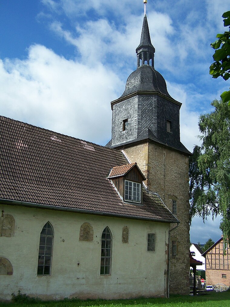
Photo: Metilsteiner, CC BY-SA 3.0.
St. Peter and Paul (Großenlupnitz) is a church, which is situated 1½ km southeast of SMAREG 4 – Wartburgspeicher.
Places in the Area
Nearby places include Stockhausen and Beuernfeld.


SMAREG 4 – Wartburgspeicher
- Type: Power station
- Category: industry
- Location: Eisenach, Wartburgkreis, Thuringia, Germany, Central Europe, Europe
- View on OpenStreetMap
Latitude
51.00045° or 51° 0′ 2″ northLongitude
10.38696° or 10° 23′ 13″ eastInception
2022Open location code
9F3G292P+5QOpenStreetMap ID
way 1230886659OpenStreetMap feature
landuse=industrial
This page is based on OpenStreetMap, Wikidata, and Wikimedia Commons.
We’d love your help improving our open data sources. Thank you for contributing.
Satellite Map
Discover SMAREG 4 – Wartburgspeicher from above in high-definition satellite imagery.
Notable Places Nearby
Highlights include PV-Kraftwerk Stockhausen and Freiwillige Feuerwehr Eisenach-Stockhausen-Hötzelsroda.
Nearby Places
Explore places such as Umspannwerk Eisenach and Kies und Beton GmbH.
Curious Power Stations to Discover
Uncover intriguing power stations from every corner of the globe.
About Mapcarta. Data © OpenStreetMap contributors and available under the Open Database License". Text is available under the CC BY-SA 4.0 license, except for photos, directions, and the map. Photo: Misburg3014, CC BY-SA 3.0.