Schule an der Philipp-Reis-Straße
Schule an der Philipp-Reis-Straße is a school in Bremen, Germany which is located on Werner-von-Siemens-Straße. Schule an der Philipp-Reis-Straße is situated nearby to the sports venue Sporthalle Philipp-Reis-Straße, as well as near the church Andreas-Kirche.| Tap on a place to explore it |
- Type: School
- Also known as: “Grundschule an der Philipp-Reis-Straße”
- Address: Werner-von-Siemens-Straße 57, Bremen, 28357
- Wheelchair access: no
Places of Interest Nearby
Highlights include Gut Landruhe and Botanika.
Gut Landruhe
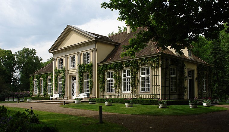
Photo: Godewind, CC BY-SA 3.0 de.
Gut Landruhe is situated 640 metres southeast of Schule an der Philipp-Reis-Straße.
Botanika
Museum
 Botanika is an indoor botanical garden with science center, in the Rhododendron-Park Bremen. The greenhouses opened in the year 2003 and show primarily azaleas and rhododendrons. Botanika is situated 1¼ km south of Schule an der Philipp-Reis-Straße.
Rhododendron-Park Bremen
Park

Photo: Syker Fotograf, GPL.
The Rhododendron-Park Bremen, also known as the Rhododendron-Park und Botanischer Garten Bremen, is the biggest collection of rhododendrons and azaleas worldwide, as well as a substantial botanical garden, located in Bremen, Germany. Rhododendron-Park Bremen is situated 1¼ km south of Schule an der Philipp-Reis-Straße.
Places in the Area
Nearby places include Horn-Lehe and Borgfeld.

Borgfeld
Suburb

Photo: Joern M, CC BY-SA 3.0.
Borgfeld is a suburb, which is situated 2½ km north of Schule an der Philipp-Reis-Straße.
Bremen-Vahr
Suburb

Photo: Pilot71, CC BY-SA 3.0.
Vahr is a district of Bremen and belongs to the Bremen district East. Vahr is located about 5 km east of the center of Bremen. The neighboring districts are Oberneuland in the north, Osterholz in the east, Hemelingen in the southeast, the eastern suburb in the southwest, Schwachhausen in the west and Horn-Lehe in the northwest. Bremen-Vahr is situated 3 km south of Schule an der Philipp-Reis-Straße.
Schule an der Philipp-Reis-Straße
- Category: education
- Location: Bremen, City state Bremen, Germany, Central Europe, Europe
- View on OpenStreetMap
Latitude
53.10404° or 53° 6′ 15″ northLongitude
8.89071° or 8° 53′ 27″ eastOpen location code
9F5C4V3R+J7OpenStreetMap ID
way 123383134OpenStreetMap feature
amenity=schoolOpenStreetMap attribute
wheelchair=no
This page is based on OpenStreetMap, Wikidata, and Wikimedia Commons.
We’d love your help improving our open data sources. Thank you for contributing.
Satellite Map
Discover Schule an der Philipp-Reis-Straße from above in high-definition satellite imagery.
Notable Places Nearby
Highlights include Sporthalle Philipp-Reis-Straße and Andreas-Kirche.
Nearby Places
Explore places such as Seehund and Horner Gartenfreunde e.V..
Germany: Must-Visit Destinations
Delve into Berlin, Munich, Hamburg, and Frankfurt.
Curious Schools to Discover
Uncover intriguing schools from every corner of the globe.
About Mapcarta. Data © OpenStreetMap contributors and available under the Open Database License". Text is available under the CC BY-SA 4.0 license, except for photos, directions, and the map. Photo: Dschwen, CC BY-SA 3.0.