Spielplatz Nedderfeld
Spielplatz Nedderfeld is a playground in Schwerin, Landeshauptstadt, Schwerin, Mecklenburg-Western Pomerania. Spielplatz Nedderfeld is situated nearby to the pitch kleiner Fußballplatz, as well as near the motorhome stopover Feriendorf Mueß.| Tap on a place to explore it |
Places of Interest Nearby
Highlights include Petruskirche Schwerin and Schwerin-Mueß Open Air Museum.
Petruskirche Schwerin
Church
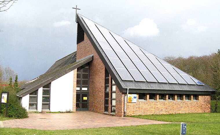
Photo: Niteshift, Public domain.
Petruskirche Schwerin is a church, which is situated 790 metres west of Spielplatz Nedderfeld.
Schwerin-Mueß Open Air Museum
Museum
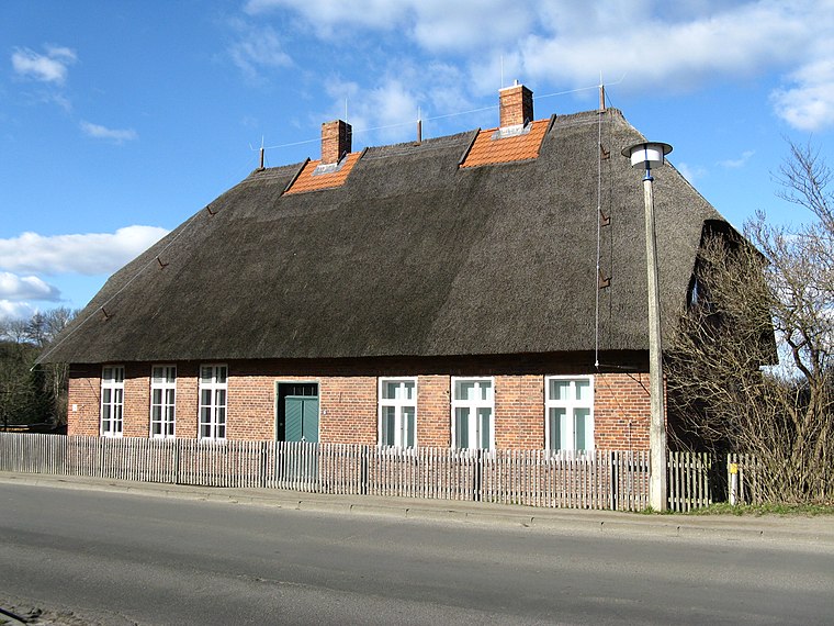
Photo: Niteshift, Public domain.
Schwerin-Mueß Open Air Museum is situated 1 km north of Spielplatz Nedderfeld.
Reppiner Burg
Scenic viewpoint
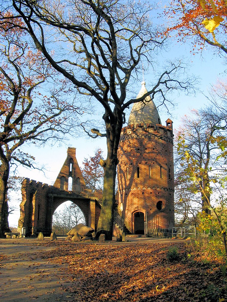 Reppiner Burg is a scenic viewpoint, which is situated 1¼ km north of Spielplatz Nedderfeld.
Places in the Area
Nearby places include Pinnow and Godern.
Pinnow
Village

Photo: Harald Hoyer, CC BY-SA 2.0.
Pinnow is a municipality in the Ludwigslust-Parchim district, in Mecklenburg-Vorpommern, Germany. Pinnow is situated 4½ km east of Spielplatz Nedderfeld.
Godern
Village
Photo: Harald Hoyer, CC BY-SA 2.0.
Godern is a village and a former municipality in the Ludwigslust-Parchim district, in Mecklenburg-Vorpommern, Germany. Since 1 January 2012, it is part of the municipality Pinnow. Godern is situated 5 km northeast of Spielplatz Nedderfeld.
Plate
Village

Photo: Barghaan, CC BY-SA 3.0.
Plate is a municipality in the Ludwigslust-Parchim district, in Mecklenburg-Vorpommern, Germany. Plate is situated 5 km south of Spielplatz Nedderfeld.
Spielplatz Nedderfeld
- Opening hours: 8:00 AM—9:00 PM
- Type: Playground
- Category: recreation area
- Location: Schwerin, Landeshauptstadt, Schwerin, Mecklenburg-Western Pomerania, Germany, Central Europe, Europe
- View on OpenStreetMap
Latitude
53.59249° or 53° 35′ 33″ northLongitude
11.48213° or 11° 28′ 56″ eastOperator
WEG NedderfeldOpen location code
9F5HHFRJ+XVOpenStreetMap ID
way 1236954709OpenStreetMap feature
leisure=playground
This page is based on OpenStreetMap, Wikidata, and Wikimedia Commons.
We’d love your help improving our open data sources. Thank you for contributing.
Satellite Map
Discover Spielplatz Nedderfeld from above in high-definition satellite imagery.
Notable Places Nearby
Highlights include kleiner Fußballplatz and Feriendorf Mueß.
Nearby Places
Explore places such as Nedderfeld and Am Consrader Weg e.V..
Mecklenburg-Western Pomerania: Must-Visit Destinations
Delve into Rostock, Wismar, Stralsund, and Greifswald.
Curious Playgrounds to Discover
Uncover intriguing playgrounds from every corner of the globe.
About Mapcarta. Data © OpenStreetMap contributors and available under the Open Database License". Text is available under the CC BY-SA 4.0 license, except for photos, directions, and the map. Photo: Kolossos, CC BY-SA 3.0.