Poço de Ventilação
Poço de Ventilação is in Arroios, Lisbon. Poço de Ventilação is situated nearby to the office building Edifício Aviz, as well as near the metro station Picoas station.| Tap on a place to explore it |
Places of Interest Nearby
Highlights include Picoas station and Maternidade Alfredo da Costa.
Picoas station
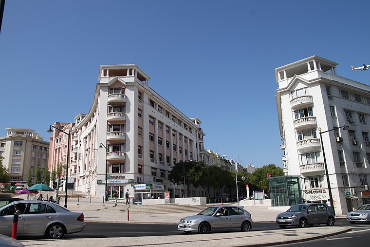
Metro station

Photo: thomasclaveirole, CC BY-SA 2.0.
Picoas station is part of the Yellow Line of the Lisbon Metro, located on the north side of the city centre on Avenida Fontes Pereira de Melo.
Maternidade Alfredo da Costa
Hospital
Maternidade Alfredo da Costa is a public Central Hospital serving the Greater Lisbon area as part of the Central Lisbon University Hospital Centre, a state-owned enterprise. Maternidade Alfredo da Costa is situated 190 metres north of Poço de Ventilação.

Places in the Area
Nearby places include Bairro Azul and Santo António.
Santo António
Suburb

Photo: Alvesgaspar, CC BY-SA 3.0.
Santo António is a freguesia of Lisbon, the capital of Portugal. Located in central Lisbon, Santo António is east of Campo de Ourique, north of Santa Maria Maior and Misericórdia, west of Arroios, and south of Avenidas Novas.
Campolide
Suburb

Photo: Juntas, Public domain.
Campolide is a freguesia and district of Lisbon, the capital of Portugal. Located in central Lisbon, Campolide is west of Avenidas Novas, north of Campo de Ourique, east of Benfica, and south of São Domingos de Benfica. The population in 2011 was 15,460,…
Poço de Ventilação
- Type: Industry
- Location: Arroios, Lisbon, Lisbon District, Portugal, Iberia, Europe
- View on OpenStreetMap
Latitude
38.73099° or 38° 43′ 52″ northLongitude
-9.1467° or 9° 8′ 48″ westOperator
Metropolitano de LisboaOpen location code
8CCGPVJ3+98OpenStreetMap ID
way 1239765718OpenStreetMap feature
landuse=industrialOpenStreetMap feature
man_made=ventilation_shaftOpenStreetMap feature
railway=ventilation_shaft
This page is based on OpenStreetMap, Wikidata, and Wikimedia Commons.
We’d love your help improving our open data sources. Thank you for contributing.
Satellite Map
Discover Poço de Ventilação from above in high-definition satellite imagery.
Places with the Same Name
Discover other places named “Poço de Ventilação”.
Notable Places Nearby
Highlights include Edifício Aviz and Teatro Villaret.
Nearby Places
Explore places such as Picoas and Santander.
Lisbon: Must-Visit Destinations
Delve into Bairro Alto, Alfama, Baixa, and Belém.
Curious Places to Discover
Uncover intriguing places from every corner of the globe.
About Mapcarta. Data © OpenStreetMap contributors and available under the Open Database License". Text is available under the CC BY-SA 4.0 license, except for photos, directions, and the map. Photo: Alvesgaspar, CC BY-SA 3.0.