Forstbotanischer Garten Eberswalde
Forstbotanischer Garten Eberswalde is a garden in Eberswalde, Barnim, Brandenburg. Forstbotanischer Garten Eberswalde is situated nearby to the sports venue Eberswalder Tennis-Club, as well as near the bowling alley Kegelbahn am Fritz-Lesch-Stadion.| Tap on a place to explore it |
Places of Interest Nearby
Highlights include Werner-Forßmann-Krankenhaus and Eberswalde Hauptbahnhof.
Werner-Forßmann-Krankenhaus
Hospital

Photo: Ralf Roletschek, GFDL.
Werner-Forßmann-Krankenhaus is a hospital, which is situated 520 metres northwest of Forstbotanischer Garten Eberswalde.
Eberswalde Hauptbahnhof
Railway station

Photo: Ralf Roletschek, GFDL.
Eberswalde Hauptbahnhof is historically the most important and now the only remaining station in the city of Eberswalde in the German state of Brandenburg. Eberswalde Hauptbahnhof is situated 1 km north of Forstbotanischer Garten Eberswalde.
Zoologischer Garten Eberswalde
Zoo
 Zoologischer Garten Eberswalde is situated 1 km west of Forstbotanischer Garten Eberswalde.
Places in the Area
Nearby places include Messingwerk Finow and Lichterfelde.
Messingwerk Finow
Neighborhood

Photo: DorisAntony, CC BY-SA 3.0.
Messingwerk Finow is a neighborhood, which is situated 5 km northwest of Forstbotanischer Garten Eberswalde.
Lichterfelde
Village

Photo: Hans G. Oberlack, CC BY-SA 4.0.
Lichterfelde is a village, which is situated 6 km northwest of Forstbotanischer Garten Eberswalde.
Tornow
Village
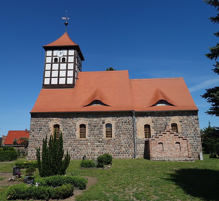
Photo: Hans G. Oberlack, CC BY-SA 4.0.
Tornow is a village, which is situated 6 km east of Forstbotanischer Garten Eberswalde.
Forstbotanischer Garten Eberswalde
- Type: Garden
- Category: recreation area
- Location: Eberswalde, Barnim, Brandenburg, Germany, Central Europe, Europe
- View on OpenStreetMap
Latitude
52.82618° or 52° 49′ 34″ northLongitude
13.79701° or 13° 47′ 49″ eastOpen location code
9F4MRQGW+FROpenStreetMap ID
way 124248295OpenStreetMap feature
leisure=garden
This page is based on OpenStreetMap, Wikidata, and Wikimedia Commons.
We’d love your help improving our open data sources. Thank you for contributing.
Satellite Map
Discover Forstbotanischer Garten Eberswalde from above in high-definition satellite imagery.
Notable Places Nearby
Highlights include Eberswalder Tennis-Club and Forstbotanischer Garten Eberswalde.
Nearby Places
Explore places such as Kleingärtnerverein Schwärzetal and Lehroberförsterei Eberswalde.
Brandenburg: Must-Visit Destinations
Delve into Potsdam, Cottbus, Frankfurt an der Oder, and Brandenburg an der Havel.
Curious Gardens to Discover
Uncover intriguing gardens from every corner of the globe.
About Mapcarta. Data © OpenStreetMap contributors and available under the Open Database License". Text is available under the CC BY-SA 4.0 license, except for photos, directions, and the map. Photo: Leviathan1983, CC BY-SA 3.0.