Friedenschule
Friedenschule is a school in Halle (Saale), Halle, Saxony-Anhalt which is located on Karl-Pilger-Straße. Friedenschule is situated nearby to the sports venue Stadion der Waggonbauer, as well as near the playground Fichteplatz.| Tap on a place to explore it |
Places of Interest Nearby
Highlights include St. Marien and St. Katharinen.
St. Marien
Church

Photo: Catatine, CC BY-SA 4.0.
St. Marien is a church, which is situated 530 metres northwest of Friedenschule.
St. Katharinen
Church

Photo: Milenavaleska, CC0.
St. Katharinen is a church, which is situated 580 metres southeast of Friedenschule.

Places in the Area
Nearby places include Ammendorf/Beesen and Döllnitz.
Ammendorf/Beesen
Suburb
Ammendorf/Beesen is a suburb to the south of the city of Halle, Saxony-Anhalt, Germany. It consists of the formerly independent villages of Ammendorf and Beesen.
Döllnitz
Village

Photo: Jwaller, CC BY-SA 3.0.
Döllnitz is a village, which is situated 4 km southeast of Friedenschule.
Schkopau
Town
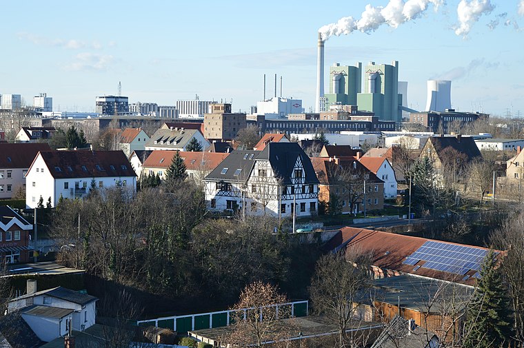
Photo: Olaf2, CC BY-SA 4.0.
Schkopau is a municipality in the Saalekreis district, in Saxony-Anhalt, Germany. Schkopau is situated 4½ km south of Friedenschule.
Friedenschule
- Type: School
- Address: Karl-Pilger-Straße 4, Halle (Saale), 06132
- Category: education
- Location: Halle (Saale), Halle, Saxony-Anhalt, Germany, Central Europe, Europe
- View on OpenStreetMap
Latitude
51.43054° or 51° 25′ 50″ northLongitude
11.98091° or 11° 58′ 51″ eastOperator
Stadt Halle (Saale)Open location code
9F3HCXJJ+69OpenStreetMap ID
way 1245600250OpenStreetMap feature
amenity=school
This page is based on OpenStreetMap, Wikidata, and Wikimedia Commons.
We’d love your help improving our open data sources. Thank you for contributing.
Satellite Map
Discover Friedenschule from above in high-definition satellite imagery.
Notable Places Nearby
Highlights include Stadion der Waggonbauer and Fichteplatz.
Nearby Places
Explore places such as Sekundarschule Halle-Süd and Karl-Pilger-Straße.
Saxony-Anhalt: Must-Visit Destinations
Delve into Magdeburg, Wittenberg, Quedlinburg, and Eisleben.
Curious Places to Discover
Uncover intriguing places from every corner of the globe.
About Mapcarta. Data © OpenStreetMap contributors and available under the Open Database License". Text is available under the CC BY-SA 4.0 license, except for photos, directions, and the map. Photo: GMM, Public domain.