Église Saint-Étienne des Terraillons
Église Saint-Étienne des Terraillons is a church in Bron, Arrondissement of Lyon, Auvergne-Rhône-Alpes. Église Saint-Étienne des Terraillons is situated nearby to the government office Maison de la Métropole de Lyon - Bron Bramet, as well as near Parc Rosa Parks.| Tap on a place to explore it |
- Type: Church
- Description: church located in Rhône, in France
- Also known as: “Église Saint-Étienne” and “église Saint-Étienne des Terraillons”
Places of Interest Nearby
Highlights include Square du Frère Benoît and Fort de Bron.
Square du Frère Benoît
Park
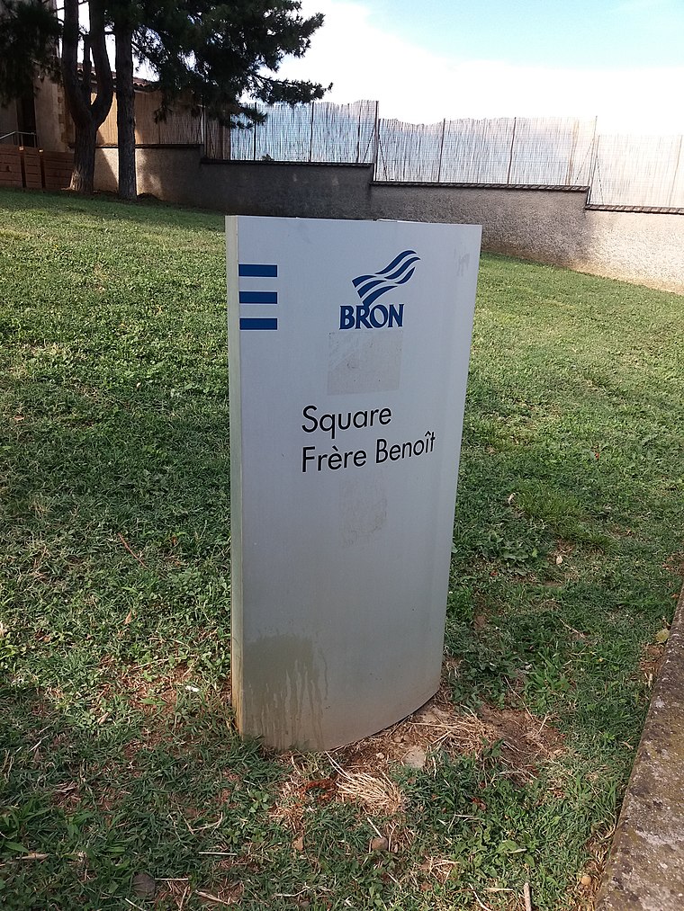
Photo: Romainbehar, CC0.
Square du Frère Benoît is a park, which is situated 1 km southwest of Église Saint-Étienne des Terraillons.
Fort de Bron
Fort

Photo: Rexcornot, CC BY-SA 3.0.
The Fort de Bron is a fortification built between 1875 and 1877, located in the commune of Bron. It is part of the second belt of fortifications around Lyon, which also includes Fort de Vancia, Fort de Feyzin and Fort du Mont Verdun. Fort de Bron is situated 1¼ km south of Église Saint-Étienne des Terraillons.
Église Saint-Denis de Bron
Church

Photo: Tusco, CC BY-SA 3.0.
Église Saint-Denis de Bron is a church, which is situated 800 metres southwest of Église Saint-Étienne des Terraillons.
Places in the Area
Nearby places include Bron and Montchat.
Bron
Town

Photo: Wikimedia, CC BY-SA 3.0.
Bron is a commune in the Metropolis of Lyon, Auvergne-Rhône-Alpes region, eastern France.
Montchat
Suburb

Photo: Rexcornot, CC BY-SA 4.0.
Montchat is a district in the 3rd arrondissement of the French commune of Lyon. It forms the eastern part of the city. It ends on the east with a hill bordering Bron and adjoins Villeurbanne to the north. Montchat is situated 2½ km west of Église Saint-Étienne des Terraillons.
Chassieu
Village

Photo: Chassieu69680, CC BY-SA 4.0.
Chassieu is a commune in the Metropolis of Lyon in the Auvergne-Rhône-Alpes region in eastern France. Chassieu is situated 3½ km east of Église Saint-Étienne des Terraillons.
Église Saint-Étienne des Terraillons
- Categories: building, place of worship, and religion
- Location: Bron, Arrondissement of Lyon, Greater Lyon, Auvergne-Rhône-Alpes, France, Europe
- View on OpenStreetMap
Latitude
45.74379° or 45° 44′ 38″ northLongitude
4.92233° or 4° 55′ 20″ eastOpen location code
8FQ6PWVC+GWOpenStreetMap ID
way 124863763OpenStreetMap feature
amenity=place_of_worshipOpenStreetMap feature
building=yesWikidata ID
Q38574445
This page is based on OpenStreetMap, Wikidata, and Wikimedia Commons.
We’d love your help improving our open data sources. Thank you for contributing.
Satellite Map
Discover Église Saint-Étienne des Terraillons from above in high-definition satellite imagery.
In Other Languages
“Église Saint-Étienne des Terraillons” goes by many names.
- French: “église Saint-Étienne des Terraillons”
- French: “Église Saint-Étienne des Terraillons”
Notable Places Nearby
Highlights include Maison de la Métropole de Lyon - Bron Bramet and Parc Rosa Parks.
Nearby Places
Explore places such as Centre social et crèche L’Emerveille & L’Oasis and Les Jasmins.
Greater Lyon: Must-Visit Destinations
Delve into Lyon, Saint-Étienne, Roanne, and Villefranche-sur-Saône.
Curious Churches to Discover
Uncover intriguing churches from every corner of the globe.
About Mapcarta. Data © OpenStreetMap contributors and available under the Open Database License". Text is available under the CC BY-SA 4.0 license, except for photos, directions, and the map. Photo: Goudan07, CC BY-SA 3.0.