Freiwillige Feuerwehr Pulling
Freiwillige Feuerwehr Pulling is a fire station in Freising, Upper Bavaria, Bavaria which is located on Am Schulweg. Freiwillige Feuerwehr Pulling is situated nearby to the playground Sportverein Pulling, St.-Ulrich-Strasse, as well as near Pulling, Sünzhauser Strasse.| Tap on a place to explore it |
Places of Interest Nearby
Highlights include St. Ulrich and Pulling.
St. Ulrich
Church

Photo: JRaue, CC BY-SA 2.0 de.
St. Ulrich is a church, which is situated 240 metres south of Freiwillige Feuerwehr Pulling.
Pulling
Railway stop

Photo: Vuxi, CC BY-SA 4.0.
Pulling station is a railway station on the Munich S-Bahn in the municipality of Pulling, district of Freising in the northeast area of Munich, Germany. It is served by the S-Bahn line S1. Pulling is situated 530 metres southeast of Freiwillige Feuerwehr Pulling.

Places in the Area
Nearby places include Pulling and Dürneck.


Achering
Village
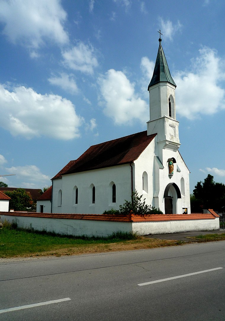
Photo: Vuxi, CC BY-SA 3.0.
Achering is a village, which is situated 2½ km south of Freiwillige Feuerwehr Pulling.
Freiwillige Feuerwehr Pulling
- Type: Fire station
- Address: Am Schulweg 6, Freising, 85354
- Category: building
- Location: Freising, Freising, Upper Bavaria, Bavaria, Germany, Central Europe, Europe
- View on OpenStreetMap
Latitude
48.36743° or 48° 22′ 3″ northLongitude
11.70336° or 11° 42′ 12″ eastOpen location code
8FWH9P83+X8OpenStreetMap ID
way 125171054OpenStreetMap feature
amenity=fire_stationOpenStreetMap feature
building=fire_station
This page is based on OpenStreetMap, Wikidata, and Wikimedia Commons.
We’d love your help improving our open data sources. Thank you for contributing.
Satellite Map
Discover Freiwillige Feuerwehr Pulling from above in high-definition satellite imagery.
Notable Places Nearby
Highlights include Pulling and Sportverein Pulling, St.-Ulrich-Strasse.
Nearby Places
Explore places such as Kriegerdenkmal Pulling and Pulling, Am Schulweg.
Upper Bavaria: Must-Visit Destinations
Delve into Munich, Ingolstadt, Dachau, and Rosenheim.
Curious Fire Stations to Discover
Uncover intriguing fire stations from every corner of the globe.
About Mapcarta. Data © OpenStreetMap contributors and available under the Open Database License". Text is available under the CC BY-SA 4.0 license, except for photos, directions, and the map. Photo: Wikimedia, CC BY-SA 3.0.