exceeding solutions
exceeding solutions is a building in Halle (Saale), Halle, Saxony-Anhalt. exceeding solutions is situated nearby to the garden Klimagarten Halle, as well as near the ice rink Sparkassen-Eisdom.| Tap on a place to explore it |
Places of Interest Nearby
Highlights include Sparkassen-Eisdom and Fire station.
Sparkassen-Eisdom
Ice rink

Photo: Reise Reise, CC BY-SA 4.0.
Sparkassen-Eisdom is an ice rink, which is situated 270 metres south of exceeding solutions.
Fire station
Fire station
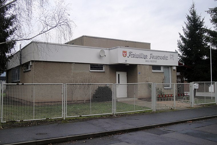
Photo: Reise Reise, CC BY-SA 4.0.
Fire station is situated 410 metres south of exceeding solutions.
Moritzburg
Castle

Photo: DerHallenser, CC BY-SA 4.0.
The Moritzburg is a fortified castle in Halle, Germany. The cornerstone of what would later become the residence of the Archbishops of Magdeburg was laid in 1484; the castle was built in the style of the Early Renaissance. Moritzburg is situated 2 km east of exceeding solutions.
Places in the Area
Nearby places include Halle-Neustadt and Giebichenstein.
Halle-Neustadt
Suburb

Photo: Wikimedia, Public domain.
Halle-Neustadt, popularly known as HaNeu, was a city in the German Democratic Republic. It was established as a new town on 12 May 1967, as an independent and autonomous city.
Giebichenstein
Suburb

Photo: Fenchelkiwi1, CC BY-SA 3.0.
Giebichenstein is a district in the north of Halle on the eastern bank of the river Saale in the Saxony-Anhalt state of Germany. It is part of the Stadtbezirk Nord.

exceeding solutions
- Type: Commercial building
- Roof shape: flat
- Categories: building, office, and business
- Location: Halle (Saale), Halle, Saxony-Anhalt, Germany, Central Europe, Europe
- View on OpenStreetMap
Latitude
51.49055° or 51° 29′ 26″ northLongitude
11.93775° or 11° 56′ 16″ eastLevels
3Open location code
9F3HFWRQ+63OpenStreetMap ID
way 1252792121OpenStreetMap feature
building=commercialOpenStreetMap feature
office=companyOpenStreetMap attribute
roof-shape=flat
This page is based on OpenStreetMap, Wikidata, and Wikimedia Commons.
We’d love your help improving our open data sources. Thank you for contributing.
Satellite Map
Discover exceeding solutions from above in high-definition satellite imagery.
Notable Places Nearby
Highlights include Klimagarten Halle and Weinbergwiesen.
Nearby Places
Explore places such as Otto-Eißfeldt-Straße and ECH.
Saxony-Anhalt: Must-Visit Destinations
Delve into Magdeburg, Wittenberg, Quedlinburg, and Eisleben.
Curious Places to Discover
Uncover intriguing places from every corner of the globe.
About Mapcarta. Data © OpenStreetMap contributors and available under the Open Database License". Text is available under the CC BY-SA 4.0 license, except for photos, directions, and the map. Photo: GMM, Public domain.