The Donway
The Donway is a residential area in North York, Toronto, Ontario. The Donway is situated nearby to Korean Central Toronto Presbyterian Church, as well as near St. Mark’s Presbyterian Church.| Tap on a place to explore it |
Places of Interest Nearby
Highlights include Don Mills Collegiate Institute and Aga Khan Museum.
Don Mills Collegiate Institute
School

Photo: Wikimedia, CC BY-SA 3.0.
Don Mills Collegiate Institute is a high school in Toronto, Ontario, Canada. Located in the Don Mills neighbourhood, it serves an ethnically diverse student population of approximately 1000. Don Mills Collegiate Institute is situated 300 metres northeast of The Donway.
Aga Khan Museum
Museum

Photo: JohnOyston, CC BY-SA 4.0.
The Aga Khan Museum is a museum of Islamic art located in the North York district of Toronto, Ontario, Canada. The museum is dedicated to Islamic art and objects, and it houses approximately 1,200 rare objects assembled by Shah Karim al-Husayni and Prince Sadruddin Aga Khan. Aga Khan Museum is situated 1¼ km southeast of The Donway.
Don Mills Middle School
School

Photo: FreshCorp619, CC BY-SA 4.0.
Don Mills Middle School is a middle school in Toronto, Ontario. It is located near the intersection Don Mills Road and Lawrence Avenue. The school was known as Don Mills Junior High School until 1986. Don Mills Middle School is situated 440 metres north of The Donway.
Places in the Area
Nearby places include Don Mills and Flemingdon Park.
Don Mills
Neighborhood
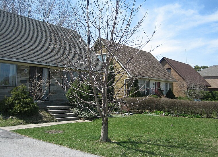
Photo: SimonP, CC BY-SA 3.0.
Don Mills is a mixed-use neighbourhood in Toronto, Ontario, Canada. It was developed in the 1950s and 1960s to be a self-supporting "new town" and was at the time located outside Toronto proper in the suburb of North York.
Flemingdon Park
Neighborhood

Photo: Afifkhan, CC BY-SA 4.0.
Flemingdon Park is a neighbourhood in Toronto, Ontario, Canada, located in the city's North York district. It is part of the Don Valley East federal and provincial electoral districts, and Ward 26: Don Valley East municipally.
Bridle Path
Neighborhood

Photo: Jeff Hitchcock, CC BY 2.0.
The Bridle Path is a residential neighbourhood in Toronto, Ontario, Canada. It is characterized by large multimillion-dollar mansions and two to four acre lot sizes.
The Donway
- Type: Residential area
- Location: North York, Toronto, Greater Toronto Area, Ontario, Canada, North America
- View on OpenStreetMap
Latitude
43.73325° or 43° 43′ 60″ northLongitude
-79.34119° or 79° 20′ 28″ westOpen location code
87M2PMM5+8GOpenStreetMap ID
way 1258921204OpenStreetMap feature
landuse=residential
This page is based on OpenStreetMap, Wikidata, and Wikimedia Commons.
We’d love your help improving our open data sources. Thank you for contributing.
Satellite Map
Discover The Donway from above in high-definition satellite imagery.
Notable Places Nearby
Highlights include Korean Central Toronto Presbyterian Church and St. Mark’s Presbyterian Church.
Nearby Places
Explore places such as The Donway E and Don Mills Rd and The Donway West.
Toronto: Must-Visit Destinations
Delve into Yorkville and the Annex, Midtown, East End, and Downtown East.
Curious Residential Areas to Discover
Uncover intriguing residential areas from every corner of the globe.
About Mapcarta. Data © OpenStreetMap contributors and available under the Open Database License". Text is available under the CC BY-SA 4.0 license, except for photos, directions, and the map. Photo: S23678, CC BY-SA 3.0.