日本物流センター株式会社
日本物流センター株式会社 is in Suminoe-ku, Osaka, Osaka. 日本物流センター株式会社 is situated nearby to the railway station Nankō-higashi Station, as well as near the public building 軽自動車検査協会大阪主管事務所.| Tap on a place to explore it |
Places of Interest Nearby
Highlights include Nankō-higashi Station and Ferry Terminal Station.
Nankō-higashi Station
Railway station

Photo: のねをつほ, CC BY-SA 3.0.
Nankō-higashi Station is a train station on the Nankō Port Town Line in Suminoe-ku, Osaka, Japan. Nankō-higashi Station is situated 230 metres northeast of 日本物流センター株式会社.
Ferry Terminal Station
Railway station

Photo: Unyamunya, CC BY-SA 3.0.
Ferry Terminal Station is a train station on the Nankō Port Town Line in Suminoe-ku, Osaka, Japan. The station is assigned the station number P14. The station is connected to the Osaka Nankō Ferry Terminal of the Osaka Port by an elevated pedestrian walkway. Ferry Terminal Station is situated 710 metres north of 日本物流センター株式会社.
Nankōguchi Station
Railway station

Photo: Wikimedia, CC BY-SA 3.0.
Nankōguchi Station is a train station on the Nankō Port Town Line in Suminoe-ku, Osaka, Japan. Nankōguchi Station is situated 1 km east of 日本物流センター株式会社.
Places in the Area
Nearby places include Sakai Ward and Taisho-ku.
Sakai Ward
Suburb

Photo: Sakai Yayoi, CC0.
Sakai-ku is a ward of the city of Sakai in Osaka Prefecture, Japan. The ward has an area of 23.69 km2 and a population of 147,413. The population density is 6,223 per square kilometer. Sakai Ward is situated 4½ km southeast of 日本物流センター株式会社.
Taisho-ku
Suburb

Photo: KishujiRapid, CC BY-SA 4.0.
Taishō is one of 24 wards of Osaka, Japan. As of October 1, 2006, the ward has an estimated population of 72,742 and the total area is 9.43 km2. Taisho is surrounded by canals and it is named after the Taisho bridge, a main bridge built in Taishō period. Taisho-ku is situated 5 km northeast of 日本物流センター株式会社.
Minato-ku
Suburb
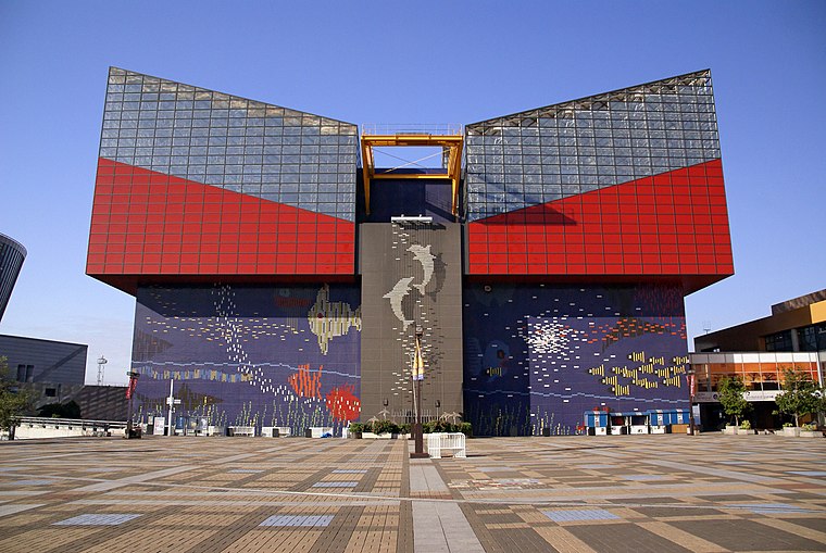
Photo: 663highland, CC BY 2.5.
Minato is one of 24 wards of Osaka, Japan. It has an area of 7.9 km2, and a population of 84,961. Literally translated, Minato-ku means "Harbor Ward". Minato-ku is situated 6 km north of 日本物流センター株式会社.
日本物流センター株式会社
- Type: Industry
- Location: Suminoe-ku, Osaka, Osaka, Kansai, Japan, East Asia, Asia
- View on OpenStreetMap
Latitude
34.613° or 34° 36′ 47″ northLongitude
135.43634° or 135° 26′ 11″ eastBranch
大阪南港事業所Open location code
8Q6QJC7P+5GOpenStreetMap ID
way 1259369735OpenStreetMap feature
landuse=industrial
This page is based on OpenStreetMap, Wikidata, and Wikimedia Commons.
We’d love your help improving our open data sources. Thank you for contributing.
Satellite Map
Discover 日本物流センター株式会社 from above in high-definition satellite imagery.
Notable Places Nearby
Highlights include 軽自動車検査協会大阪主管事務所 and Osaka Nanko Ferry Terminal.
Nearby Places
Explore places such as コスモ石油 and 南港東.
Osaka: Must-Visit Destinations
Delve into Toyonaka, Osaka castle, Bay Area, and Universal Studios Japan.
Curious Places to Discover
Uncover intriguing places from every corner of the globe.
About Mapcarta. Data © OpenStreetMap contributors and available under the Open Database License". Text is available under the CC BY-SA 4.0 license, except for photos, directions, and the map. Photo: Kaiza96, CC BY-SA 3.0.