Forretnings-lejemål
Forretnings-lejemål is a building in Gladsaxe Municipality, Capital Region. Forretnings-lejemål is situated nearby to the hospital Aleris København, as well as near the school Enghavegård Skole.| Tap on a place to explore it |
Places of Interest Nearby
Highlights include Mørkhøj Church and Gladsaxe Stadium.
Mørkhøj Church
Church

Photo: Wikimedia, CC BY-SA 2.5.
Mørkhøj Church is situated 590 metres southwest of Forretnings-lejemål.
Gladsaxe Stadium
Stadium
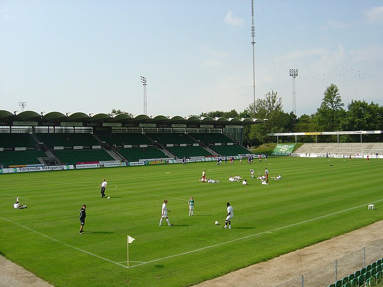
Photo: Froztbyte, CC BY-SA 3.0.
Gladsaxe Stadium is a sports center located on Gladsaxevej 200, Søborg, Gladsaxe Municipality, in Copenhagen, which is primarily used for association football matches. Gladsaxe Stadium is situated 1¼ km east of Forretnings-lejemål.
Tingbjerg Bibliotek\Kulturhus
Library

Photo: Jasparbang, CC BY-SA 4.0.
Tingbjerg Bibliotek\Kulturhus is a library, which is situated 1 km southeast of Forretnings-lejemål.
Places in the Area
Nearby places include Tingbjerg and Mørkhøj.
Tingbjerg
Quarter

Photo: Tingbjerg, Public domain.
Tingbjerg is a large housing project designed and built from 1950 to 1972 by Steen Eiler Rasmussen as principal architect. It is located in Copenhagen County, 6 km northwest of the center of Copenhagen in Denmark.
Mørkhøj
Quarter
Mørkhøj is a suburb c. 10 kilometres northwest of central Copenhagen, Denmark. Mørkhøj is part of Gladsaxe Municipality. The area is mixed with single-family homes and public housing and light industry. It has c. 10000 inhabitants.

Forretnings-lejemål
- Type: Building
- Location: Gladsaxe Municipality, Capital Region, Denmark, Nordic countries, Europe
- View on OpenStreetMap
Latitude
55.72833° or 55° 43′ 42″ northLongitude
12.47729° or 12° 28′ 38″ eastOpen location code
9F7JPFHG+8WOpenStreetMap ID
way 1266581756OpenStreetMap feature
building=yes
This page is based on OpenStreetMap, Wikidata, and Wikimedia Commons.
We’d love your help improving our open data sources. Thank you for contributing.
Satellite Map
Discover Forretnings-lejemål from above in high-definition satellite imagery.
Notable Places Nearby
Highlights include Aleris København and Enghavegård Skole.
Nearby Places
Explore places such as Rema 1000 Søborg, Gyngemosen and Ebisu Sushi Søborg.
Denmark: Must-Visit Destinations
Delve into Copenhagen, Aarhus, Odense, and Aalborg.
Curious Buildings to Discover
Uncover intriguing buildings from every corner of the globe.
About Mapcarta. Data © OpenStreetMap contributors and available under the Open Database License". Text is available under the CC BY-SA 4.0 license, except for photos, directions, and the map. Photo: Wikimedia, CC BY-SA 3.0.