Escola Básica de Frossos
Escola Básica de Frossos is a school in Merelim (São Pedro) e Frossos, Braga which is located on Rua da Escola. Escola Básica de Frossos is situated nearby to the recreation area Monkey Park, as well as near the marketplace Puratos.| Tap on a place to explore it |
- Email: eb1.n20.braga@escolas.min-edu.pt
- Type: School
- Address: Rua da Escola, Braga, 4700-152
Places of Interest Nearby
Highlights include Estádio Municipal de Braga and Casa do Feital.
Estádio Municipal de Braga
Stadium

Photo: Manuel Anastácio, CC BY-SA 3.0.
The Estádio Municipal de Braga is an all-seater football stadium located in Braga, Portugal, and the current home of Sporting Clube de Braga. It has a capacity of 30,286 spectators, making it the seventh largest football stadium in Portugal. Estádio Municipal de Braga is situated 2 km east of Escola Básica de Frossos.
Casa do Feital
Manor estate

Photo: Joseolgon, CC BY-SA 4.0.
Casa do Feital is a manor estate, which is situated 420 metres southeast of Escola Básica de Frossos.
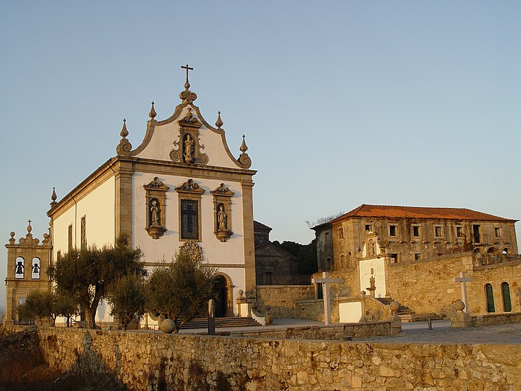
Capela de São Gonçalo
Church

Photo: Joseolgon, CC BY-SA 4.0.
Capela de São Gonçalo is a church, which is situated 420 metres southwest of Escola Básica de Frossos.
Places in the Area
Nearby places include Parada de Tibães and Real.
Parada de Tibães
Village

Photo: Wikimedia, Public domain.
Merelim, Panoias e Parada de Tibães is a civil parish in the municipality of Braga, Portugal. It was formed in 2013 by the merger of the former parishes Merelim, Panoias and Parada de Tibães.

Escola Básica de Frossos
- Category: education
- Location: Merelim (São Pedro) e Frossos, Braga, Braga District, Portugal, Iberia, Europe
- View on OpenStreetMap
Latitude
41.56286° or 41° 33′ 46″ northLongitude
-8.45183° or 8° 27′ 7″ westOperator
Agrupamento de Escolas de Real, BragaOpen location code
8CHHHG7X+47OpenStreetMap ID
way 1268505518OpenStreetMap feature
amenity=school
This page is based on OpenStreetMap, Wikidata, and Wikimedia Commons.
We’d love your help improving our open data sources. Thank you for contributing.
Satellite Map
Discover Escola Básica de Frossos from above in high-definition satellite imagery.
Notable Places Nearby
Highlights include Monkey Park and Puratos.
Nearby Places
Explore places such as Bowling House Fun & Coffee - Braga and CIN - tintas e vernizes.
Portugal: Must-Visit Destinations
Delve into Lisbon, Caldas da Rainha, Porto, and Coimbra.
Curious Schools to Discover
Uncover intriguing schools from every corner of the globe.
About Mapcarta. Data © OpenStreetMap contributors and available under the Open Database License". Text is available under the CC BY-SA 4.0 license, except for photos, directions, and the map. Photo: Jjtkk, CC BY 3.0.