Escola Básica n.º 1 de Cruzeiro
Escola Básica n.º 1 de Cruzeiro is a school in O. Azeméis, Riba-Ul, Ul, Macinhata da Seixa, Madail, Oliveira de Azeméis Municipality, Aveiro District which is located on Rua de Santo André. Escola Básica n.º 1 de Cruzeiro is situated nearby to the cemetery Cemitério de Macinhata da Seixa, as well as near the church Igreja de Santo André.| Tap on a place to explore it |
- Email: eb1.n1.cmseixa@escolas.min-edu.pt
- Type: School
- Address: Rua de Santo André, Macinhata da Seixa, 3720-082
Places of Interest Nearby
Highlights include Estádio Carlos Osório and Oliveira de Azeméis railway station.
Estádio Carlos Osório
Stadium

Photo: HBrunoK, Public domain.
Estádio Carlos Osório is a stadium in Oliveira de Azeméis, Aveiro, Portugal. It is currently used for football matches and is the home ground of Liga de Honra side U.D. Estádio Carlos Osório is situated 2 km north of Escola Básica n.º 1 de Cruzeiro.
Oliveira de Azeméis railway station
Railway station

Photo: JP Ribeiro, CC BY-SA 4.0.
Oliveira de Azeméis railway station is situated 2 km north of Escola Básica n.º 1 de Cruzeiro.
Câmara Municipal de Oliveira de Azeméis
Town hall
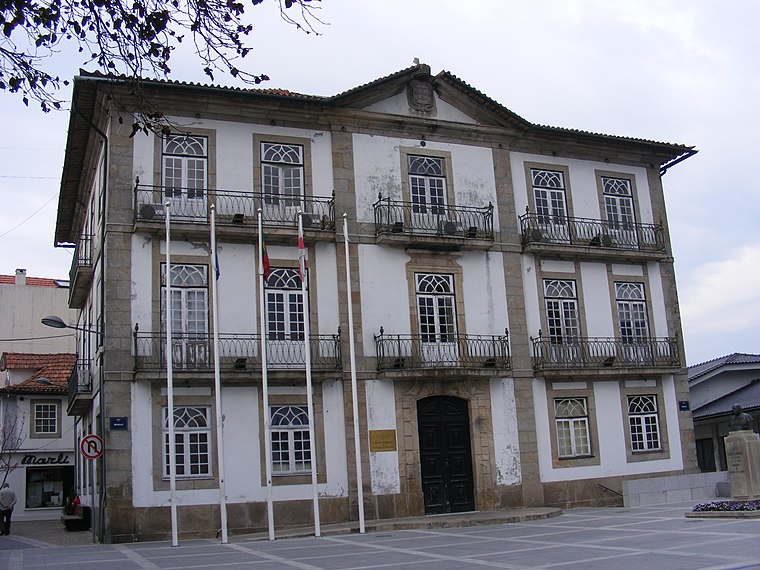
Photo: Piquito, Public domain.
Câmara Municipal de Oliveira de Azeméis is a town hall, which is situated 2 km north of Escola Básica n.º 1 de Cruzeiro.
Places in the Area
Nearby places include Travanca and Ul (Oliveira de Azeméis).

Ul (Oliveira de Azeméis)
Village

Photo: Vitor Oliveira, CC BY-SA 2.0.
Oliveira de Azeméis, Santiago de Riba-Ul, Ul, Macinhata da Seixa e Madail is a civil parish in the municipality of Oliveira de Azeméis in Porto Metropolitan Area, Portugal.
Pinheiro da Bemposta
Town

Photo: Ricardo Saraiva de Almeida, CC BY-SA 4.0.
Pinheiro da Bemposta is a town, which is situated 4 km south of Escola Básica n.º 1 de Cruzeiro.
Escola Básica n.º 1 de Cruzeiro
Latitude
40.82183° or 40° 49′ 19″ northLongitude
-8.47187° or 8° 28′ 19″ westOperator
Agrupamento de Escolas Soares Basto, Oliveira de AzeméisOpen location code
8CGHRGCH+P7OpenStreetMap ID
way 1270944984OpenStreetMap feature
amenity=school
This page is based on OpenStreetMap, Wikidata, and Wikimedia Commons.
We’d love your help improving our open data sources. Thank you for contributing.
Satellite Map
Discover Escola Básica n.º 1 de Cruzeiro from above in high-definition satellite imagery.
Notable Places Nearby
Highlights include Cemitério de Macinhata da Seixa and Igreja de Santo André.
Nearby Places
Explore places such as Alminhas da Rua das Pereiras and Alminhas do Alvão.
Portugal: Must-Visit Destinations
Delve into Lisbon, Caldas da Rainha, Porto, and Coimbra.
Curious Schools to Discover
Uncover intriguing schools from every corner of the globe.
About Mapcarta. Data © OpenStreetMap contributors and available under the Open Database License". Text is available under the CC BY-SA 4.0 license, except for photos, directions, and the map. Photo: Tsy1980, CC BY-SA 4.0.