Jardim de Infância de Póvoa da Lomba
Jardim de Infância de Póvoa da Lomba is a kindergarten in Cantanhede e Pocariça, Cantanhede Municipality, Coimbra District which is located on Rua Doutor Manuel Frota. Jardim de Infância de Póvoa da Lomba is situated nearby to the village Ourentã.| Tap on a place to explore it |
- Email: ji.povoalomba@escolas.min-edu.pt
- Type: Kindergarten
- Address: Rua Doutor Manuel Frota, Cantanhede, 3060-213
Places of Interest Nearby
Highlights include Tribunal Judicial de Cantanhede.
Tribunal Judicial de Cantanhede
Courthouse

Photo: Vitor Oliveira, CC BY-SA 2.0.
Tribunal Judicial de Cantanhede is a courthouse, which is situated 2 km north of Jardim de Infância de Póvoa da Lomba.
Places in the Area
Nearby places include Ourentã and Arazede.
Ourentã
Village

Photo: Vitor Oliveira, CC BY-SA 2.0.
Ourentã is a village, which is situated 4½ km northeast of Jardim de Infância de Póvoa da Lomba.
Arazede
Town
Arazede is a town in Montemor-o-Velho Municipality in Portugal. The population in 2011 was 5,508, in an area of 53.45 km2. Arazede is situated 8 km southwest of Jardim de Infância de Póvoa da Lomba.
Ançã
Town
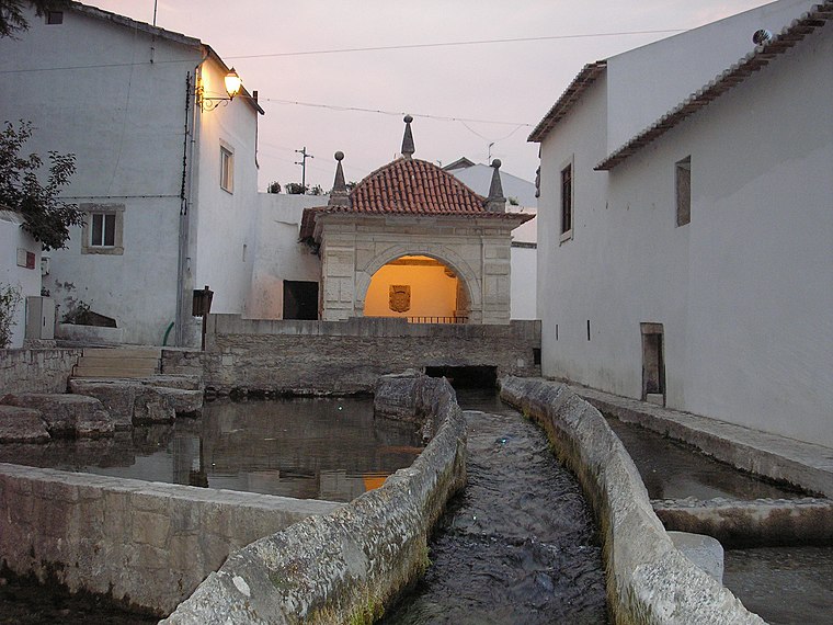
Photo: VeronicaSGoncalves, CC BY-SA 4.0.
Ançã is a Portuguese village and parish in the municipality of Cantanhede, with an area of 18.1 km2 and 2,625 inhabitants. It has a population density of 145 inhabitants / km². Ançã is situated 8 km southeast of Jardim de Infância de Póvoa da Lomba.
Jardim de Infância de Póvoa da Lomba
- Category: education
- Location: Cantanhede e Pocariça, Cantanhede Municipality, Coimbra District, Portugal, Iberia, Europe
- View on OpenStreetMap
Latitude
40.32873° or 40° 19′ 43″ northLongitude
-8.58177° or 8° 34′ 54″ westOperator
Agrupamento de Escolas Marquês de Marialva, CantanhedeOpen location code
8CGH8CH9+F7OpenStreetMap ID
way 1273944714OpenStreetMap feature
amenity=kindergarten
This page is based on OpenStreetMap, Wikidata, and Wikimedia Commons.
We’d love your help improving our open data sources. Thank you for contributing.
Satellite Map
Discover Jardim de Infância de Póvoa da Lomba from above in high-definition satellite imagery.
Notable Places Nearby
Highlights include Rex bowling and Cantanhede.
Nearby Places
Explore places such as À Taberna and Campo Escola Fonte Dom Pedro.
Portugal: Must-Visit Destinations
Delve into Lisbon, Caldas da Rainha, Porto, and Coimbra.
Curious Kindergartens to Discover
Uncover intriguing kindergartens from every corner of the globe.
About Mapcarta. Data © OpenStreetMap contributors and available under the Open Database License". Text is available under the CC BY-SA 4.0 license, except for photos, directions, and the map. Photo: Alvesgaspar, CC BY-SA 3.0.