Bloco CE
Bloco CE is an university building in Curitiba, Grande Curitiba, Paraná. Bloco CE is situated nearby to the swimming pool Piscina, as well as near the theater building Teatro Regina Vogue.| Tap on a place to explore it |
Places of Interest Nearby
Highlights include Curitiba Railway Museum and Rio Branco palace.
Curitiba Railway Museum
Museum

Photo: DAR7, CC BY-SA 4.0.
Curitiba Railway Museum is situated 310 metres northeast of Bloco CE.
Rio Branco palace
Town hall

Photo: Deyvid Setti, CC BY-SA 3.0.
Rio Branco palace is a town hall, which is situated 320 metres northeast of Bloco CE.
Estádio Vila Capanema
Stadium

Photo: Fabiowerlang, Public domain.
Estádio Durival Britto e Silva, better known as Estádio Vila Capanema, is the main stadium of Paraná Clube in Curitiba, Paraná, Brazil. The other stadium is Estádio Vila Olímpica, currently being used for training. Estádio Vila Capanema is situated 1¼ km east of Bloco CE.
Places in the Area
Nearby places include Curitiba Historical Centre and Civic Center.
Curitiba Historical Centre
Neighborhood

Photo: KikoCorreia, CC BY-SA 2.5 br.
Curitiba Historical Centre is a neighborhood.
Civic Center
Suburb
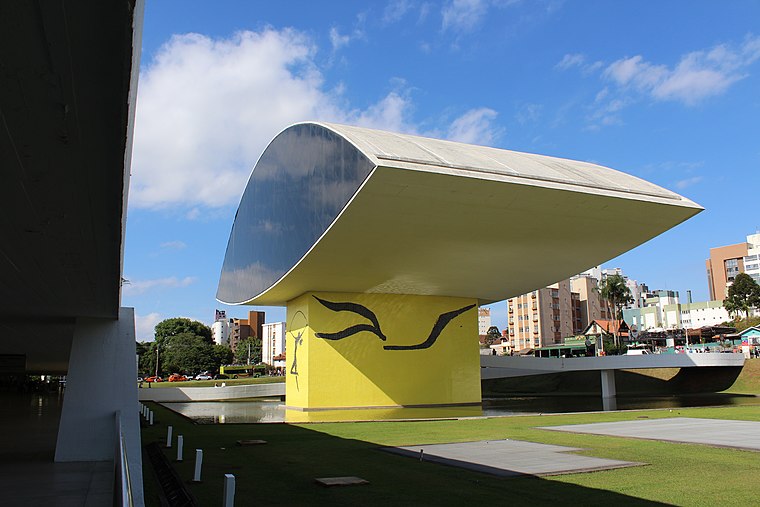
Photo: Cassia Naomi Nakai, CC BY-SA 4.0.
Curitiba is the capital and largest city in the state of Paraná in Southern Brazil. The city's population was 1,829,225 as of 2024, making it the eighth most populous city in Brazil and the largest in Brazil's South Region. Civic Center is situated 2½ km north of Bloco CE.
Pinhais

Photo: KikoCorreia, CC BY 3.0.
Pinhais is a municipality in Paraná state in Brazil. As of 2020, the population was 133,490. It was emancipated from the municipality of Piraquara in 1992 and is part of the Metropolitan region of Curitiba. It is the smallest municipality in Paraná by area.
Bloco CE
- Type: University building
- Categories: building and education
- Location: Curitiba, Grande Curitiba, Paraná, South, Brazil, South America
- View on OpenStreetMap
Latitude
-25.43865° or 25° 26′ 19″ southLongitude
-49.26865° or 49° 16′ 7″ westHeight
20 metres (66 feet)Open location code
586GHP6J+GGOpenStreetMap ID
way 127743426OpenStreetMap feature
building=university
This page is based on OpenStreetMap, Wikidata, and Wikimedia Commons.
We’d love your help improving our open data sources. Thank you for contributing.
Satellite Map
Discover Bloco CE from above in high-definition satellite imagery.
Notable Places Nearby
Highlights include Piscina and Teatro Regina Vogue.
Nearby Places
Explore places such as Bloco CF and Universidade Tecnológica.
Grande Curitiba: Must-Visit Destinations
Delve into Colombo, Pinhais, Campo Largo, and Mandirituba.
Curious Places to Discover
Uncover intriguing places from every corner of the globe.
About Mapcarta. Data © OpenStreetMap contributors and available under the Open Database License". Text is available under the CC BY-SA 4.0 license, except for photos, directions, and the map. Photo: Squibb, CC BY 2.5.