Nathanial’s Grove
Nathanial’s Grove is a residential area in Greene, Ohio. Nathanial’s Grove is situated nearby to the church Lifeway, as well as near the nature reserve Beavercreek Wildlife Recreation Area.| Tap on a place to explore it |
Places in the Area
Nearby places include Alpha and Beavercreek.
Alpha
Village
Alpha is an unincorporated community in Greene County, Ohio, in the United States. It is located on the eastern side of the Dayton metropolitan area. A post office is located in Alpha, with the ZIP code of 45301. Alpha is situated 3 miles southwest of Nathanial’s Grove.
Beavercreek

Photo: neighborhoods, CC BY-SA 2.0.
Beavercreek is the biggest city in Greene County Ohio, and a large suburb of Dayton. It is home to the National Museum of the U.S. Air Force, and to the Wright-Patterson Air Force Base.
Fairborn
Town
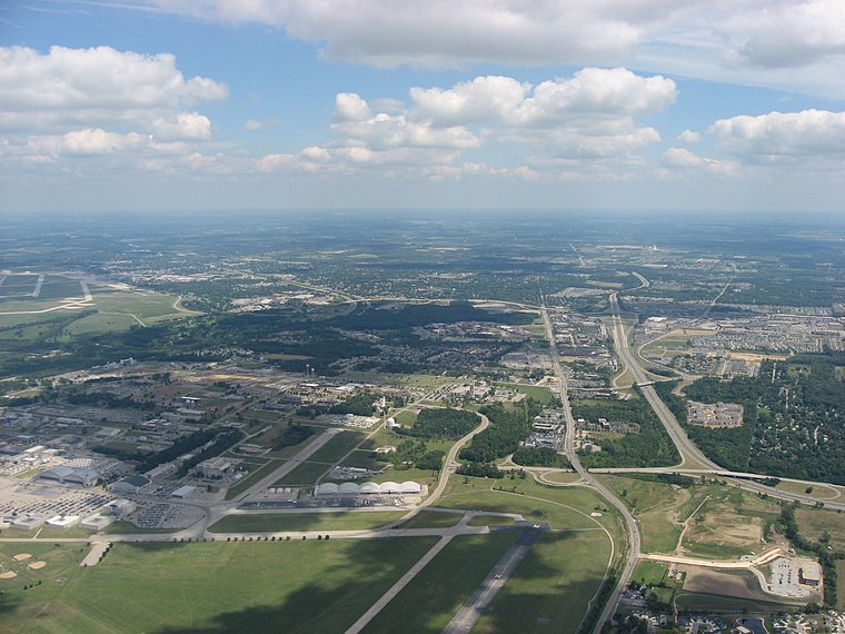
Photo: Nyttend, Public domain.
Fairborn is a city in Greene County, Ohio, United States. The population was 34,620 at the 2020 census. It is a suburb of Dayton and part of the Dayton metropolitan area. Fairborn is situated 5 miles north of Nathanial’s Grove.
Nathanial’s Grove
- Type: Residential area
- Location: Greene, Ohio, Midwest, United States, North America
- View on OpenStreetMap
Latitude
39.74917° or 39° 44′ 57″ northLongitude
-83.9908° or 83° 59′ 27″ westOpen location code
86FRP2X5+MMOpenStreetMap ID
way 1279654711OpenStreetMap feature
landuse=residential
This page is based on OpenStreetMap, Wikidata, and Wikimedia Commons.
We’d love your help improving our open data sources. Thank you for contributing.
Satellite Map
Discover Nathanial’s Grove from above in high-definition satellite imagery.
Notable Places Nearby
Highlights include Lifeway and Beavercreek Wildlife Recreation Area.
Nearby Places
Explore places such as Bath Substation and Hunter’s Ridge.
Ohio: Must-Visit Destinations
Delve into Columbus, Cincinnati, Cleveland, and Bowling Green.
Curious Residential Areas to Discover
Uncover intriguing residential areas from every corner of the globe.
About Mapcarta. Data © OpenStreetMap contributors and available under the Open Database License". Text is available under the CC BY-SA 4.0 license, except for photos, directions, and the map. Photo: Wikimedia, CC0.