Ancučių kraštovaizdžio draustinis
Ancučių kraštovaizdžio draustinis is a nature reserve in Naujosios Vilnios sen., Vilnius. Ancučių kraštovaizdžio draustinis is situated nearby to the quarter Kučkuriškės, as well as near Rokantiškės.| Tap on a place to explore it |
Places of Interest
Highlights include Pavilnys train station and Rokantiškės Castle.
Pavilnys train station
Railway station

Photo: Anaiptol, CC BY-SA 3.0.
Pavilnys train station is a railway station.
Rokantiškės Castle
Archaeological site

Photo: Wikimedia, CC BY-SA 3.0.
Rokantiškės Castle ruins are in Naujoji Vilnia elderate of Vilnius, Lithuania. The castle was located east of Vilnius on a high hill near the Vilnia River.
Sapieha Palace
Museum

Photo: Pofka, CC BY-SA 4.0.
Sapieha Palace is a High Baroque palace in Sapiegos str, Antakalnis district of Vilnius, Lithuania. It is the only surviving palace of several formerly belonging to the Sapieha family in the city.
Places in the Area
Nearby places include Antakalnis and Naujoji Vilnia.
Antakalnis
Suburb

Photo: Wikimedia, CC BY-SA 3.0.
Antakalnis is an eldership in Vilnius, Lithuania. Antakalnis is one of the oldest, and largest historical suburbs of Vilnius. It is in the Eastern section of Vilnius, along the left bank of the Neris, with the river running along the whole Western side of the district.
Naujoji Vilnia
Suburb

Photo: Wikimedia, CC BY-SA 3.0.
Naujoji Vilnia is an eldership in eastern Vilnius, Lithuania situated along the banks of the Vilnia River. According to the 2011 census, the district had a population of 31,933.
Užupis
Quarter
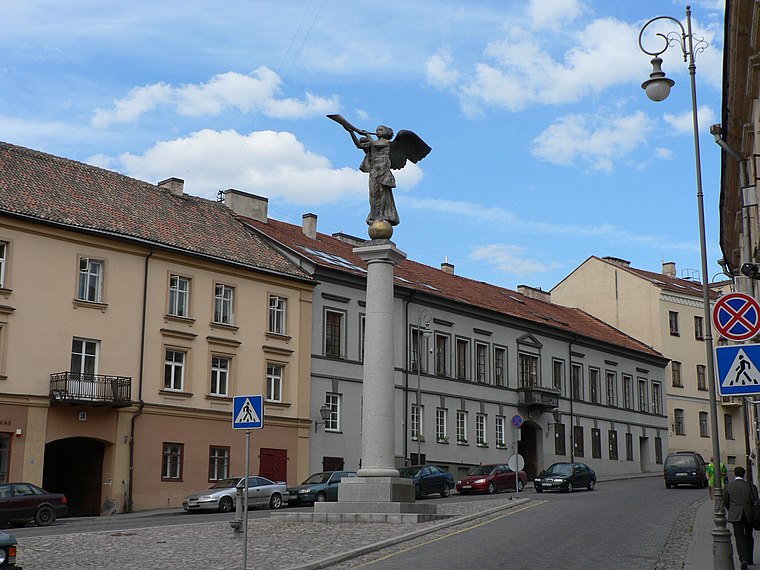
Photo: Wojsyl, CC BY-SA 3.0.
Užupis is a neighborhood in Vilnius, the capital of Lithuania, largely located in Vilnius's old town, a UNESCO World Heritage Site. Užupis means "beyond the river" or "the other side of the river" in the Lithuanian language and refers to the Vilnia River; the name Vilnius was derived from the Vilnia.
Ancučių kraštovaizdžio draustinis
- Type: Nature reserve
- Category: recreation area
- Location: Naujosios Vilnios sen., Vilnius, Vilnius County, Dzūkija, Lithuania, Baltic states, Europe
- View on OpenStreetMap
Latitude
54.6981° or 54° 41′ 53″ northLongitude
25.3609° or 25° 21′ 39″ eastOpen location code
9G67M9X6+69OpenStreetMap ID
way 1279736055OpenStreetMap feature
leisure=nature_reserve
This page is based on OpenStreetMap, Wikidata, and Wikimedia Commons.
We’d love your help improving our open data sources. Thank you for contributing.
Satellite Map
Discover Ancučių kraštovaizdžio draustinis from above in high-definition satellite imagery.
In Other Languages
From Lithuanian to Polish—“Ancučių kraštovaizdžio draustinis” goes by many names.
- Lithuanian: “Ancučių kraštovaizdžio draustinis”
- Polish: “rezerwat krajobrazowy Ancuta”
Localities in the Area
Explore places such as Kučkuriškės and Rokantiškės.
Notable Places Nearby
Highlights include Kučkuriškių piliakalnis and Rokantiškių kalnas.
Dzūkija: Must-Visit Destinations
Delve into Alytus, Trakai, Druskininkai, and Daugai.
Curious Nature Reserves to Discover
Uncover intriguing nature reserves from every corner of the globe.
About Mapcarta. Data © OpenStreetMap contributors and available under the Open Database License". Text is available under the CC BY-SA 4.0 license, except for photos, directions, and the map. Photo: Pudelek, CC BY-SA 3.0.