Lohnunternehmen Lothar Börries
Lohnunternehmen Lothar Börries is a building in Dötlingen, Oldenburg, Lower Saxony which is located on Schinkenweg. Lohnunternehmen Lothar Börries is situated nearby to the stone Hexenstein, as well as near Hexenbett.| Tap on a place to explore it |
Places of Interest Nearby
Highlights include Hexenstein and Hatter Holz.
Hexenstein
Stone

Photo: Ralf Krebs, CC BY 3.0.
Hexenstein is a stone, which is situated 230 metres north of Lohnunternehmen Lothar Börries.
Hatter Holz
Nature reserve
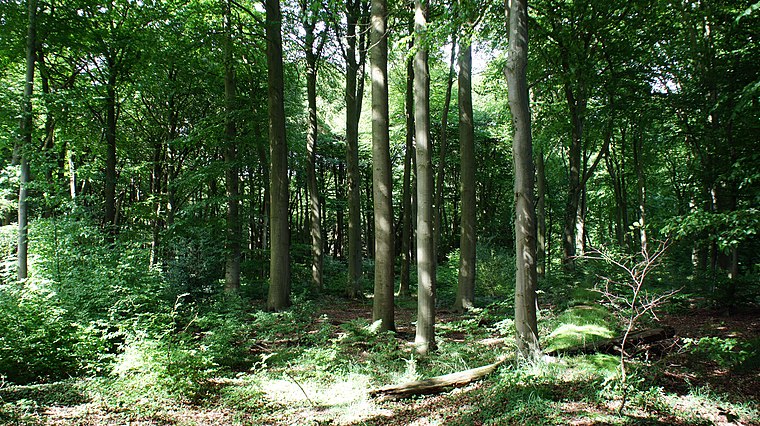
Photo: Ralf Krebs, CC BY 3.0.
Hatter Holz is a nature reserve, which is situated 3 km north of Lohnunternehmen Lothar Börries.
Großsteingrab Steenberg
Archaeological site

Photo: Travus, CC BY-SA 3.0.
Großsteingrab Steenberg is an archaeological site, which is situated 3½ km northwest of Lohnunternehmen Lothar Börries.
Places in the Area
Nearby places include Neerstedt and Barel.


Kirchhatten
Village

Photo: Jacek79, CC BY-SA 3.0.
Kirchhatten is a village, which is situated 4½ km northwest of Lohnunternehmen Lothar Börries.
Lohnunternehmen Lothar Börries
- Type: Building
- Address: Schinkenweg 1, Vor dem Wehe, Dötlingen, 27801
- Location: Dötlingen, Oldenburg, Lower Saxony, Germany, Central Europe, Europe
- View on OpenStreetMap
Latitude
52.98465° or 52° 59′ 5″ northLongitude
8.38195° or 8° 22′ 55″ eastOpen location code
9F4CX9MJ+VQOpenStreetMap ID
way 128127718OpenStreetMap feature
building=yes
This page is based on OpenStreetMap, Wikidata, and Wikimedia Commons.
We’d love your help improving our open data sources. Thank you for contributing.
Satellite Map
Discover Lohnunternehmen Lothar Börries from above in high-definition satellite imagery.
Notable Places Nearby
Highlights include Hexenbett and Schützenverein Neerstedt.
Nearby Places
Explore places such as Radwanderweg and Radwanderweg.
Lower Saxony: Must-Visit Destinations
Delve into Hanover, Göttingen, Brunswick, and Wolfsburg.
Curious Buildings to Discover
Uncover intriguing buildings from every corner of the globe.
About Mapcarta. Data © OpenStreetMap contributors and available under the Open Database License". Text is available under the CC BY-SA 4.0 license, except for photos, directions, and the map. Photo: Danapit, CC BY-SA 3.0.