Centre d’incendie et de secours de Guise
Centre d’incendie et de secours de Guise is a fire station in Guise, Arrondissement of Vervins, Hauts-de-France which is located on Place Lesur. Centre d’incendie et de secours de Guise is situated nearby to the town hall Mairie de Guise, as well as near the post office Bureau de Poste de Guise.| Tap on a place to explore it |
- Type: Fire station
- Also known as: “CS Guise”
- Address: Place Lesur
Places of Interest Nearby
Highlights include Guise castle and Hôtel Warnet.
Guise castle

Photo: Clubduvieuxmanoir, CC BY 3.0.
Guise castle is a medieval fortification in the town of Guise, in northern France. Originally an early medieval wooden motte and bailey castle, it was rebuilt in stone and then massively expanded during the 12th-16th centuries. Guise castle is situated 290 metres west of Centre d’incendie et de secours de Guise.
Hôtel Warnet
Historic building
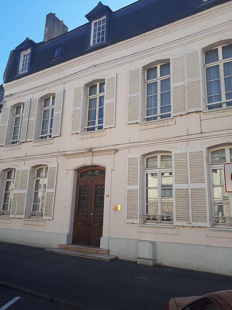
Photo: Enrevseluj, CC BY-SA 4.0.
Hôtel Warnet is a historic building, which is situated 300 metres north of Centre d’incendie et de secours de Guise.
Église Saint-Pierre-et-Saint-Paul de Guise
Church

Photo: Markus3, CC BY-SA 3.0.
Église Saint-Pierre-et-Saint-Paul de Guise is a church, which is situated 280 metres west of Centre d’incendie et de secours de Guise.
Places in the Area
Nearby places include Guise.
Guise
Village

Photo: Wikimedia, CC BY-SA 4.0.
Guise is a commune in the Aisne department in Hauts-de-France in northern France. The city was the birthplace of the noble family of Guise, Dukes of Guise, who later became Princes of Joinville.
Centre d’incendie et de secours de Guise
- Category: building
- Location: Guise, Arrondissement of Vervins, Aisne, Hauts-de-France, France, Europe
- View on OpenStreetMap
Latitude
49.89794° or 49° 53′ 53″ northLongitude
3.62778° or 3° 37′ 40″ eastOpen location code
8FX5VJXH+54OpenStreetMap ID
way 128312275OpenStreetMap feature
amenity=fire_stationOpenStreetMap feature
building=fire_station
This page is based on OpenStreetMap, Wikidata, and Wikimedia Commons.
We’d love your help improving our open data sources. Thank you for contributing.
Satellite Map
Discover Centre d’incendie et de secours de Guise from above in high-definition satellite imagery.
Notable Places Nearby
Highlights include Mairie de Guise and Bureau de Poste de Guise.
Nearby Places
Explore places such as École élémentaire du Centre and Fleurs de Guise.
Hauts-de-France: Must-Visit Destinations
Delve into Lille, Dunkirk, Calais, and Amiens.
Curious Fire Stations to Discover
Uncover intriguing fire stations from every corner of the globe.
About Mapcarta. Data © OpenStreetMap contributors and available under the Open Database License". Text is available under the CC BY-SA 4.0 license, except for photos, directions, and the map. Photo: Havang(nl), CC0.