Noland Heights
Noland Heights is a residential area in Johnson, Kansas. Noland Heights is situated nearby to Post Oak Park, as well as near Greystone West Park.| Tap on a place to explore it |
Places of Interest Nearby
Highlights include Shawnee Mission Northwest High School and Midland Adventist Academy.
Shawnee Mission Northwest High School
School
Shawnee Mission Northwest High School is a fully accredited public high school located in Shawnee, Kansas, United States, serving students in grades 9-12. Shawnee Mission Northwest High School is situated 1¼ miles north of Noland Heights.
Midland Adventist Academy
School
Midland Adventist Academy is a private, coeducational, K-12 grade school located in Shawnee, Kansas. It is a part of the Seventh-day Adventist education system, the world's second largest Christian school system. Midland Adventist Academy is situated 2 miles northwest of Noland Heights.
Places in the Area
Nearby places include Lenexa and Overland Park.
Lenexa
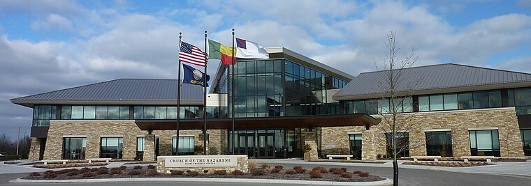
Photo: Americasroof, CC BY-SA 3.0.
Lenexa is a city in Johnson County, Kansas, United States, and part of the Kansas City metropolitan area. As of the 2020 census, the population of the city was 57,434. making it the ninth-most populated city in Kansas.
Overland Park

Photo: Nightryder84, CC BY-SA 3.0.
Overland Park is a city in northeastern Kansas within the Kansas City metropolitan area. It is a melting-pot of both urban and suburban living. With 197,000 residents, it is one of the most affluent cities in the U.S.
Merriam
Town
Merriam is a city in Johnson County, Kansas, United States, and part of the Kansas City Metropolitan Area. As of the 2020 census, the population of the city was 11,098. Merriam is situated 3½ miles northeast of Noland Heights.
Noland Heights
- Type: Residential area
- Location: Johnson, Kansas, Great Plains, United States, North America
- View on OpenStreetMap
Latitude
38.98659° or 38° 59′ 12″ northLongitude
-94.73821° or 94° 44′ 18″ westOpen location code
86C7X7P6+JPOpenStreetMap ID
way 1286706076OpenStreetMap feature
landuse=residential
This page is based on OpenStreetMap, Wikidata, and Wikimedia Commons.
We’d love your help improving our open data sources. Thank you for contributing.
Satellite Map
Discover Noland Heights from above in high-definition satellite imagery.
Notable Places Nearby
Highlights include Post Oak Park and Greystone West Park.
Nearby Places
Explore places such as Greystone Estates and Washington Square.
Kansas: Must-Visit Destinations
Delve into Topeka, Wichita, Kansas City, and Overland Park.
Curious Residential Areas to Discover
Uncover intriguing residential areas from every corner of the globe.
About Mapcarta. Data © OpenStreetMap contributors and available under the Open Database License". Text is available under the CC BY-SA 4.0 license, except for photos, directions, and the map. Photo: Wikimedia, CC BY 2.0.