Isaro Piping
Isaro Piping is a building in Guémar, Arrondissement de Colmar-Ribeauvillé, Grand Est. Isaro Piping is situated nearby to the village Guémar, as well as near Bergheim.| Tap on a place to explore it |
Places of Interest Nearby
Highlights include Hôtel de ville de Bergheim, Haut-Rhin and Église Notre-Dame de l’Assomption.
Hôtel de ville de Bergheim, Haut-Rhin
Town hall

Photo: Psu973, CC BY-SA 3.0.
Hôtel de ville de Bergheim, Haut-Rhin is a town hall, which is situated 2 km northwest of Isaro Piping.
Église Notre-Dame de l’Assomption
Church

Photo: Philippe sosson, CC BY 2.0.
Notre-Dame de l′Assomption is a Catholic parish church in the small town of Bergheim, in the Haut-Rhin department of France. It is classified as a Monument historique since 1985. Église Notre-Dame de l’Assomption is situated 2 km northwest of Isaro Piping.
Musée de Bergheim
Historic building
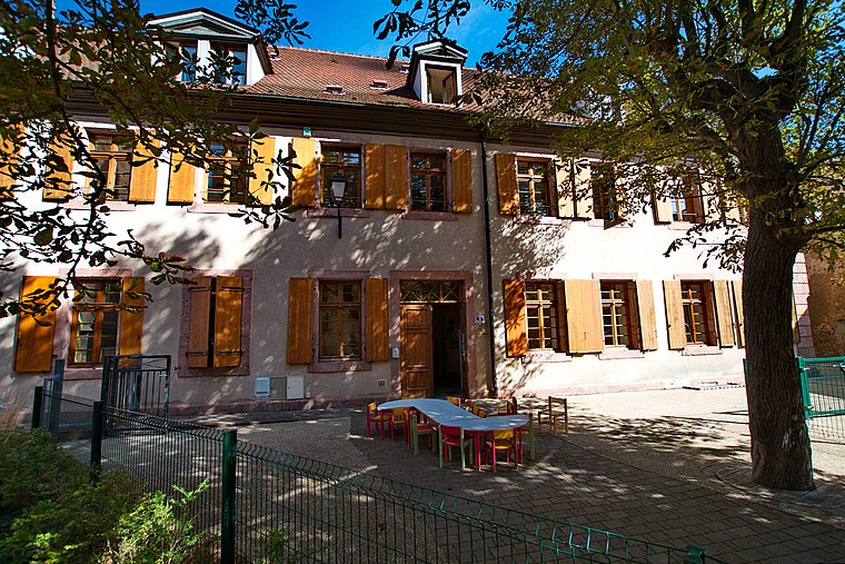
Photo: Psu973, CC BY-SA 3.0.
Musée de Bergheim is a historic building, which is situated 1½ km northwest of Isaro Piping.
Places in the Area
Nearby places include Guémar and Bergheim.
Guémar
Village

Photo: Rauenstein, CC BY-SA 3.0.
Guémar is a commune in the Haut-Rhin department in Grand Est in north-eastern France.
Bergheim
Village

Photo: Wikimedia, Public domain.
Bergheim is a commune in the Haut-Rhin department in Grand Est in north-eastern France. It is a completely fortified town and has a late-medieval church, as well as surviving towers and walls.
Rorschwihr
Village

Photo: Wikimedia, CC BY-SA 3.0.
Rorschwihr is a commune in the Haut-Rhin department in Grand Est in north-eastern France. It is part of the Alsace wine route. Rorschwihr is situated 3 km northwest of Isaro Piping.
Isaro Piping
- Type: Building
- Location: Guémar, Arrondissement de Colmar-Ribeauvillé, Haut-Rhin, Grand Est, France, Europe
- View on OpenStreetMap
Latitude
48.19176° or 48° 11′ 30″ northLongitude
7.37802° or 7° 22′ 41″ eastOpen location code
8FW959RH+P6OpenStreetMap ID
way 1288185027OpenStreetMap feature
building=yes
This page is based on OpenStreetMap, Wikidata, and Wikimedia Commons.
We’d love your help improving our open data sources. Thank you for contributing.
Satellite Map
Discover Isaro Piping from above in high-definition satellite imagery.
Places with the Same Name
Discover other places named “Isaro Piping”.
Notable Places Nearby
Highlights include Terrain and Stade.
Nearby Places
Explore places such as EVOL’HUSS and Proo-Isophony.
Grand Est: Must-Visit Destinations
Delve into Strasbourg, Reims, Metz, and Nancy.
Curious Buildings to Discover
Uncover intriguing buildings from every corner of the globe.
About Mapcarta. Data © OpenStreetMap contributors and available under the Open Database License". Text is available under the CC BY-SA 4.0 license, except for photos, directions, and the map. Photo: Wernain Samuel, CC BY-SA 3.0.