Hortas Comunitarias de Porto Avieira
Hortas Comunitarias de Porto Avieira is an allotment garden in Oroso, A Coruña, Galicia. Hortas Comunitarias de Porto Avieira is situated nearby to the athletics track Bicicross Oroso, as well as near the church Igrexa de San Miguel da Gándara.| Tap on a place to explore it |
Places of Interest Nearby
Highlights include Igrexa de San Miguel da Gándara and Church of Saint Mary.
Igrexa de San Miguel da Gándara
Church

Photo: Wikimedia, CC BY-SA 3.0.
Igrexa de San Miguel da Gándara is a church, which is situated 290 metres northwest of Hortas Comunitarias de Porto Avieira.
Church of Saint Mary
Church
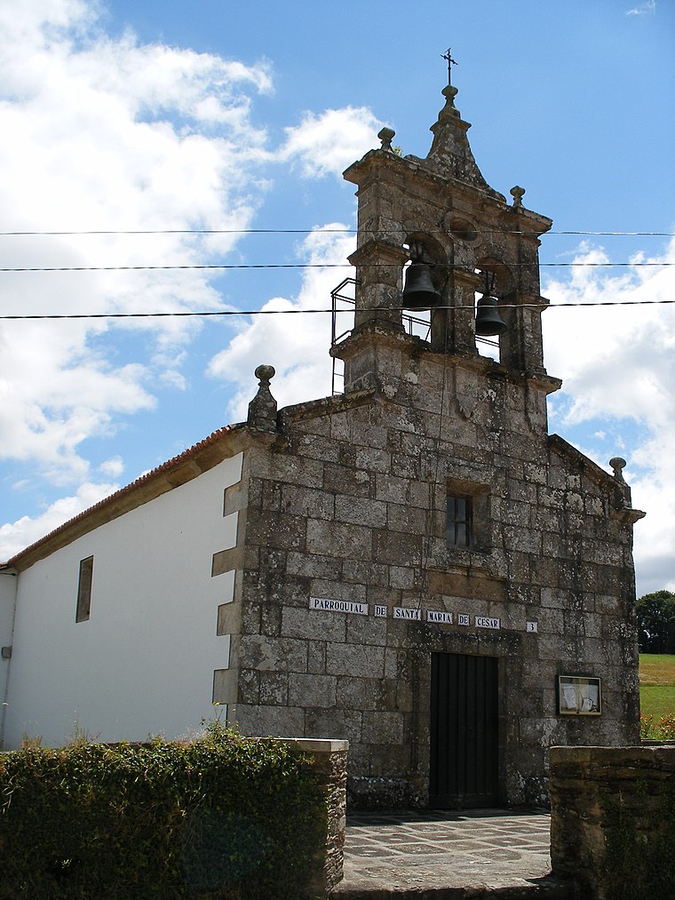
Photo: Wikimedia, CC BY-SA 3.0.
Church of Saint Mary is situated 1 km south of Hortas Comunitarias de Porto Avieira.
Paseo do Carboeiro
Park

Photo: MiguelBamio, CC BY-SA 4.0.
Paseo do Carboeiro is a park, which is situated 2 km west of Hortas Comunitarias de Porto Avieira.
Places in the Area
Nearby places include Porto Avieira and A Igrexa.

Hortas Comunitarias de Porto Avieira
- Type: Allotment garden
- Location: Oroso, A Coruña, Galicia, Green Spain, Spain, Iberia, Europe
- View on OpenStreetMap
Latitude
42.97236° or 42° 58′ 21″ northLongitude
-8.41747° or 8° 25′ 3″ westOpen location code
8CJHXHCM+W2OpenStreetMap ID
way 1293631567OpenStreetMap feature
landuse=allotments
This page is based on OpenStreetMap, Wikidata, and Wikimedia Commons.
We’d love your help improving our open data sources. Thank you for contributing.
Satellite Map
Discover Hortas Comunitarias de Porto Avieira from above in high-definition satellite imagery.
Notable Places Nearby
Highlights include Bicicross Oroso and Cemiterio da Gándara.
Nearby Places
Explore places such as Residencia Porto Avieira and Lar Blanco.
Galicia: Must-Visit Destinations
Delve into Santiago de Compostela, Lugo, Pontevedra, and A Coruña.
Curious Allotment Gardens to Discover
Uncover intriguing allotment gardens from every corner of the globe.
About Mapcarta. Data © OpenStreetMap contributors and available under the Open Database License". Text is available under the CC BY-SA 4.0 license, except for photos, directions, and the map. Photo: Mussklprozz, CC BY-SA 4.0.