Cerkev spreobrnenja svetega Pavla
Cerkev spreobrnenja svetega Pavla is a church in Municipality of Komenda, Slovenia. Cerkev spreobrnenja svetega Pavla is situated nearby to the village Križ, as well as near the community center Breznikov dom.| Tap on a place to explore it |
Places of Interest Nearby
Highlights include Volčji Potok Arboretum and Kamnik railway station.
Volčji Potok Arboretum
Garden

Photo: Smihael, CC BY-SA 3.0.
The Volčji Potok Arboretum was opened to the public in 1952. It originally formed part of the Souvan family estate in 1885, which was taken over by the University of Ljubljana in 1952 and legally declared a place of cultural and natural heritage of national importance. Volčji Potok Arboretum is situated 4 km east of Cerkev spreobrnenja svetega Pavla.
Kamnik railway station
Railway station
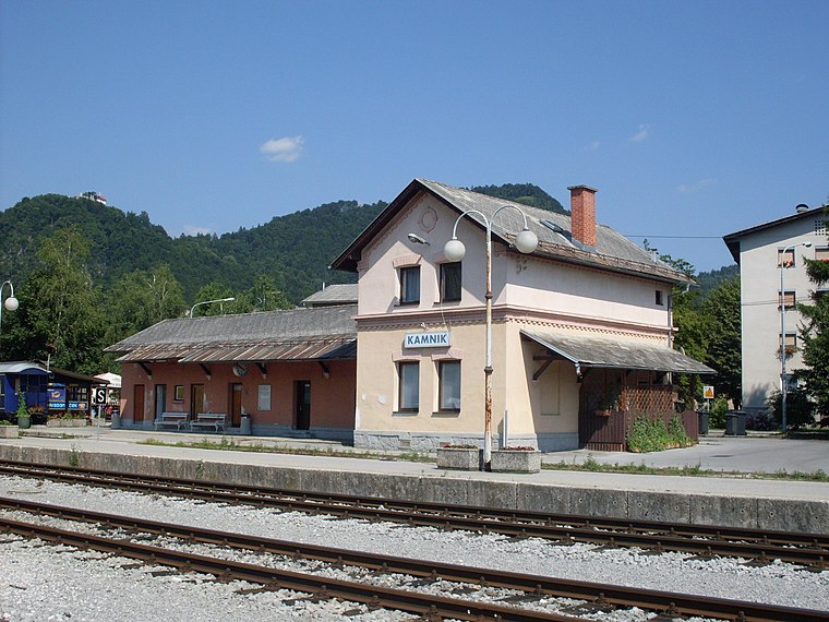
Photo: Ajznponar, CC BY-SA 3.0.
Kamnik railway station is situated 4 km northeast of Cerkev spreobrnenja svetega Pavla.
Nativity of the Virgin Mary Parish Church
Church

Photo: Terraviper-5, CC BY-SA 3.0.
Nativity of the Virgin Mary Parish Church is situated 3½ km southeast of Cerkev spreobrnenja svetega Pavla.
Places in the Area
Nearby places include Križ and Gora pri Komendi.
Križ
Village

Photo: Sl-Ziga, CC BY-SA 3.0.
Križ is a village in the Municipality of Komenda in the Upper Carniola region of Slovenia.
Gora pri Komendi
Village

Photo: Doremo, CC BY-SA 4.0.
Gora pri Komendi is a settlement east of Komenda in the Upper Carniola region of Slovenia. The Slovene writer and editor Ivo Zorman was born in the village in 1926.
Moste
Village

Photo: Doremo, CC BY-SA 4.0.
Moste is a settlement in the Municipality of Komenda in the Upper Carniola region of Slovenia.
Cerkev spreobrnenja svetega Pavla
- Type: Church
- Denomination: Catholic
- Categories: building, place of worship, and religion
- Location: Municipality of Komenda, Slovenia, Central Europe, Europe
- View on OpenStreetMap
Latitude
46.19978° or 46° 11′ 59″ northLongitude
14.56387° or 14° 33′ 50″ eastInception
~1680Open location code
8FRP5HX7+WGOpenStreetMap ID
way 129490826OpenStreetMap feature
amenity=place_of_worshipOpenStreetMap feature
building=yesOpenStreetMap attribute
denomination=catholic
This page is based on OpenStreetMap, Wikidata, and Wikimedia Commons.
We’d love your help improving our open data sources. Thank you for contributing.
Satellite Map
Discover Cerkev spreobrnenja svetega Pavla from above in high-definition satellite imagery.
Notable Places Nearby
Highlights include PGD Križ and Breznikov dom.
Nearby Places
Explore places such as Gostilna Čubr and Križ/Kamniku.
Slovenia: Must-Visit Destinations
Delve into Ljubljana, Maribor, Koper, and Celje.
Curious Churches to Discover
Uncover intriguing churches from every corner of the globe.
About Mapcarta. Data © OpenStreetMap contributors and available under the Open Database License". Text is available under the CC BY-SA 4.0 license, except for photos, directions, and the map. Photo: Jjtkk, CC BY 3.0.