Salon seudun rauhanyhdistys
Salon seudun rauhanyhdistys is a church in Finland Proper, West Coast which is located on Tapiontie. Salon seudun rauhanyhdistys is situated nearby to the suburb Lukkarinmäki.| Tap on a place to explore it |
Places in the Area
Nearby places include Lukkarinmäki and Salo.
Lukkarinmäki
Suburb

Photo: Wikimedia, Public domain.
Lukkarinmäki is a suburb, which is situated 5 km north of Salon seudun rauhanyhdistys.
Salo

Photo: Motopark, CC BY-SA 3.0.
Salo is a city of about 52,000 inhabitants in Finland Proper, perhaps best known for Nokia mobile phones. Much of the surrounding countryside, including Halikko, Kiikala, Kisko, Kuusjoki, Muurla, Perniö, Pertteli, Suomusjärvi, Särkisalo and Uskela, is nowadays incorporated into Salo.
Tuohittu
Village
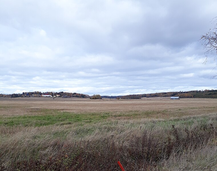
Photo: Vnnen, CC BY-SA 4.0.
Tuohittu is a village, which is situated 8 km southeast of Salon seudun rauhanyhdistys.
Salon seudun rauhanyhdistys
- Type: Church
- Address: Tapiontie 14, Salo, 24130
- Categories: building, place of worship, and religion
- Location: Finland Proper, West Coast, Finland, Nordic countries, Europe
- View on OpenStreetMap
Latitude
60.33293° or 60° 19′ 59″ northLongitude
23.13033° or 23° 7′ 49″ eastOpen location code
9GG584MJ+54OpenStreetMap ID
way 1294999280OpenStreetMap feature
amenity=place_of_worshipOpenStreetMap feature
building=yes
This page is based on OpenStreetMap, Wikidata, and Wikimedia Commons.
We’d love your help improving our open data sources. Thank you for contributing.
Satellite Map
Discover Salon seudun rauhanyhdistys from above in high-definition satellite imagery.
Notable Places Nearby
Highlights include Kavilannummen moottorirata and Äijänsillanpuiston leikkipaikka.
Nearby Places
Explore places such as Helisnummi th E and Villiläntie E.
Finland Proper: Must-Visit Destinations
Delve into Turku, Salo, Uusikaupunki, and Kaarina.
Curious Churches to Discover
Uncover intriguing churches from every corner of the globe.
About Mapcarta. Data © OpenStreetMap contributors and available under the Open Database License". Text is available under the CC BY-SA 4.0 license, except for photos, directions, and the map. Photo: Wikimedia, CC0.