Rivers of Life
Rivers of Life is a social service facility in City of Savage, Scott, Minnesota which is located on Egan Drive. Rivers of Life is situated nearby to the health club Life Time, as well as near Featherstone Lake Walking Park.| Tap on a place to explore it |
Places in the Area
Nearby places include Savage and Prior Lake.
Savage
Town

Photo: Tpdwkouaa, CC BY-SA 4.0.
Savage is a suburban city 15 miles south-southwest of downtown Minneapolis in Scott County in the U.S. state of Minnesota. The city is on the south bank of the Minnesota River in a region commonly called South of the River, comprising the southern portion of Minneapolis-St. Savage is situated 2½ miles northeast of Rivers of Life.
Prior Lake
Town

Photo: Jeanqueq, CC BY-SA 4.0.
Prior Lake is an exurban city 20 miles southwest of Minneapolis, next to Savage and Shakopee in Scott County in the U.S. state of Minnesota. Surrounding the shores of Lower and Upper Prior Lake, the city is south of the Minnesota River in an area known as RiverSouth and establishes the urban fringe of the south-southwest portion of Minneapolis-St. Prior Lake is situated 3½ miles southwest of Rivers of Life.
Burnsville
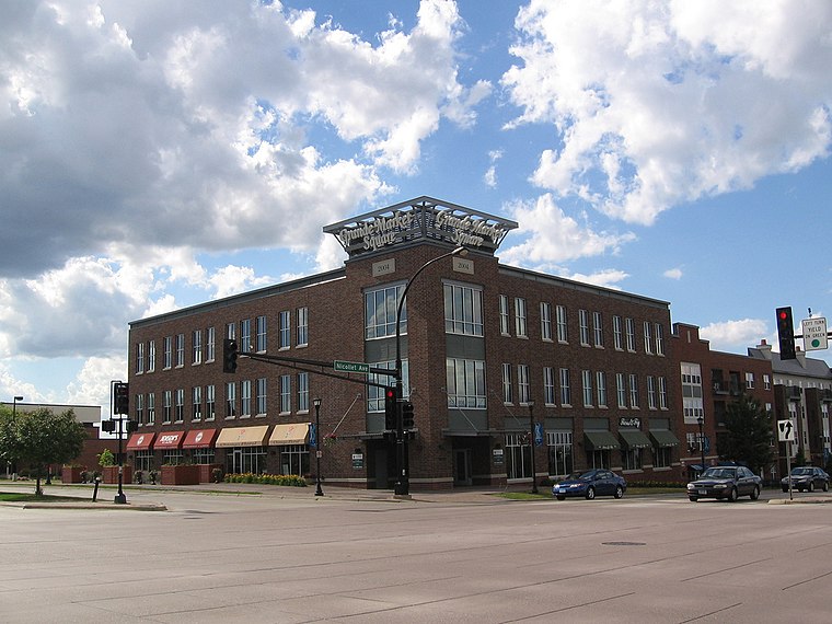
Photo: Wikimedia, CC BY-SA 2.0.
Burnsville is a city 15 miles south of downtown Minneapolis in Dakota County, Minnesota. The city is situated on a bluff overlooking the south bank of the Minnesota River, upstream from its confluence with the Mississippi River.
Rivers of Life
- Type: Social service facility
- Address: 6700 Egan Drive, Savage, MN 55378
- Location: City of Savage, Scott, Minnesota, Midwest, United States, North America
- View on OpenStreetMap
Latitude
44.74729° or 44° 44′ 50″ northLongitude
-93.3642° or 93° 21′ 51″ westOpen location code
86P8PJWP+W8OpenStreetMap ID
way 1296214364OpenStreetMap feature
amenity=social_facility
This page is based on OpenStreetMap, Wikidata, and Wikimedia Commons.
We’d love your help improving our open data sources. Thank you for contributing.
Satellite Map
Discover Rivers of Life from above in high-definition satellite imagery.
Notable Places Nearby
Highlights include Life Time and Featherstone Lake Walking Park.
Nearby Places
Explore places such as Springs at Egan Drive, Building 4 and Springs at Egan Drive, Building 3.
Minnesota: Must-Visit Destinations
Delve into Minneapolis, Saint Paul, Duluth, and Rochester.
Curious Social Service Facilities to Discover
Uncover intriguing social service facilities from every corner of the globe.
About Mapcarta. Data © OpenStreetMap contributors and available under the Open Database License". Text is available under the CC BY-SA 4.0 license, except for photos, directions, and the map. Photo: Wikimedia, CC0.