Negyvennyolcasok tere
Negyvennyolcasok tere is a square in Pest County, Central Hungary. Negyvennyolcasok tere is situated nearby to the town hall Faluház, Sződ, as well as near Polgármesteri Hivatal, Sződ.| Tap on a place to explore it |
Places of Interest Nearby
Highlights include Vácrátót railway station and Felsőgöd railway station.
Vácrátót railway station
Railway station

Photo: VT, Public domain.
Vácrátót railway station is situated 3 km northeast of Negyvennyolcasok tere.
Felsőgöd railway station
Railway stop

Photo: Globetrotter19, CC BY-SA 3.0.
Felsőgöd railway station is a railway stop, which is situated 3 km southwest of Negyvennyolcasok tere.
Places in the Area
Nearby places include Csörög and Sződliget.
Csörög
Village

Photo: Pasztilla, CC BY-SA 4.0.
Csörög is a village in Pest county, Budapest metropolitan area, Hungary. It has a population of 2,056.
Sződliget
Village

Photo: Kaboldy, CC BY-SA 3.0.
Sződliget is a small town in Pest county, Hungary. Sződliget has around 4500 inhabitants and is situated on the east bank of the Danube surrounded by agricultural land. Sződliget is situated 3 km northwest of Negyvennyolcasok tere.
Göd
Town
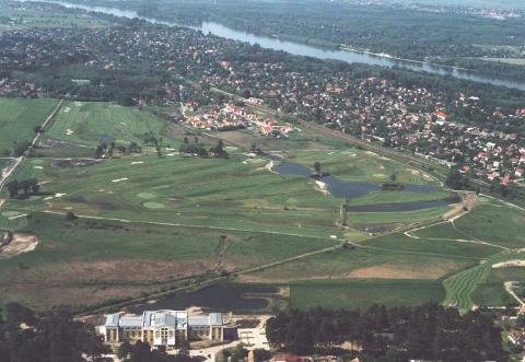
Photo: Civertan, CC BY-SA 3.0.
Göd is a small city in Pest County, Hungary. Göd is situated 5 km southwest of Negyvennyolcasok tere.
Negyvennyolcasok tere
- Type: Square
- Category: locality
- Location: Pest County, Central Hungary, Hungary, Central Europe, Europe
- View on OpenStreetMap
Latitude
47.71963° or 47° 43′ 11″ northLongitude
19.18098° or 19° 10′ 52″ eastOpen location code
8FVXP59J+V9OpenStreetMap ID
way 1300732793OpenStreetMap feature
place=square
This page is based on OpenStreetMap, Wikidata, and Wikimedia Commons.
We’d love your help improving our open data sources. Thank you for contributing.
Satellite Map
Discover Negyvennyolcasok tere from above in high-definition satellite imagery.
Places with the Same Name
Discover other places named “Negyvennyolcasok tere”.
Notable Places Nearby
Highlights include Faluház, Sződ and Faluház.
Nearby Places
Explore places such as Kopjafa and Petőfi Sándor mellszobra.
Pest County: Must-Visit Destinations
Delve into Érd, Cegléd, Gödöllő, and Budaörs.
Curious Squares to Discover
Uncover intriguing squares from every corner of the globe.
About Mapcarta. Data © OpenStreetMap contributors and available under the Open Database License". Text is available under the CC BY-SA 4.0 license, except for photos, directions, and the map. Photo: ucsendre, CC BY-SA 3.0.