Stadtwerke Ahaus
Stadtwerke Ahaus is a building in Ahaus, Borken, North Rhine-Westphalia which is located on Hoher Weg. Stadtwerke Ahaus is situated nearby to the scenic viewpoint Am Kalkbruch, as well as near the health club Gesundheitszentrum Westmünsterland.| Tap on a place to explore it |
Places of Interest Nearby
Highlights include Saint Andrew Church (Wüllen) and Schloss Ahaus.
Saint Andrew Church (Wüllen)
Church

Photo: Michielverbeek, CC BY-SA 3.0.
Saint Andrew Church (Wüllen) is situated 760 metres west of Stadtwerke Ahaus.
Schloss Ahaus
Castle

Photo: Wikimedia, CC BY-SA 4.0.
Schloss Ahaus is a castle, which is situated 2 km east of Stadtwerke Ahaus.
Jewish cemetery, Ahaus
Cemetery
 Jewish cemetery, Ahaus is situated 1½ km northeast of Stadtwerke Ahaus.
Places in the Area
Nearby places include Wüllen and Ahaus.

Ahaus
Town

Photo: Wikimedia, CC BY-SA 4.0.
Ahaus is a town in the district of Borken in the state of North Rhine-Westphalia, Germany. It is located near the border with the Netherlands, lying some 20 km south-east of Enschede and 15 km south from Gronau.
Lünten
Village
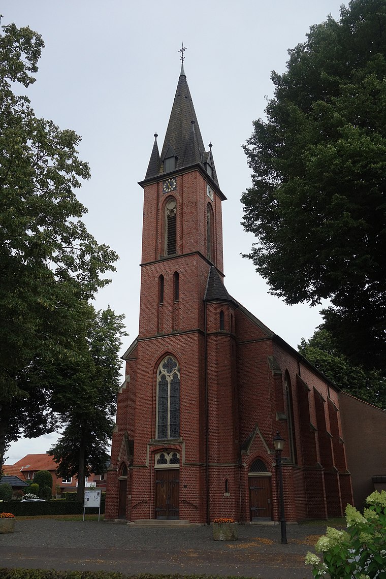
Photo: Vysotsky, CC BY-SA 4.0.
Lünten is a village, which is situated 9 km west of Stadtwerke Ahaus.
Stadtwerke Ahaus
- Type: Building
- Address: Hoher Weg 2, Ahaus, 48683
- Location: Ahaus, Borken, Münster, North Rhine-Westphalia, Germany, Central Europe, Europe
- View on OpenStreetMap
Latitude
52.06982° or 52° 4′ 11″ northLongitude
6.98466° or 6° 59′ 5″ eastOpen location code
9F483X9M+WVOpenStreetMap ID
way 130074373OpenStreetMap feature
building=yes
This page is based on OpenStreetMap, Wikidata, and Wikimedia Commons.
We’d love your help improving our open data sources. Thank you for contributing.
Satellite Map
Discover Stadtwerke Ahaus from above in high-definition satellite imagery.
Notable Places Nearby
Highlights include Am Kalkbruch and Gesundheitszentrum Westmünsterland.
Nearby Places
Explore places such as Stadtwerke and Hellweg.
North Rhine-Westphalia: Must-Visit Destinations
Delve into Cologne, Düsseldorf, Bonn, and Dortmund.
Curious Buildings to Discover
Uncover intriguing buildings from every corner of the globe.
About Mapcarta. Data © OpenStreetMap contributors and available under the Open Database License". Text is available under the CC BY-SA 4.0 license, except for photos, directions, and the map. Photo: Daniel Schwen, CC BY-SA 2.5.