Le Parc Saint Irénée
Le Parc Saint Irénée is a residential area in Lyon, Greater Lyon, Auvergne-Rhône-Alpes. Le Parc Saint Irénée is situated nearby to the sports venue Gymnase Commandant Charcot, as well as near the park Square Jean Tricou.| Tap on a place to explore it |
Places of Interest Nearby
Highlights include Parc de la Mairie and National School of Arts and Techniques of theater.
Parc de la Mairie
Park

Photo: Rexcornot, CC BY-SA 4.0.
Parc de la Mairie is a park, which is situated 430 metres northwest of Le Parc Saint Irénée.
National School of Arts and Techniques of theater
College

Photo: Sebleouf, CC BY-SA 4.0.
National School of Arts and Techniques of theater is a college, which is situated 560 metres east of Le Parc Saint Irénée.
Gare de Lyon-Perrache
Railway station
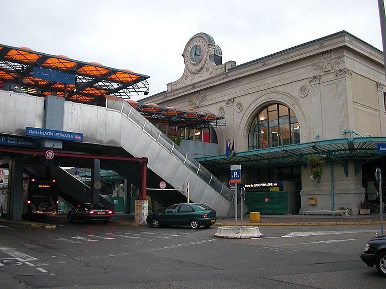
Photo: Pymouss44, CC BY-SA 3.0.
Lyon–Perrache or simply Perrache is a large railway station located in the Perrache quarter, in the 2nd arrondissement of Lyon, France. Historically the primary railway station in Lyon, today it is the city's second-busiest station, after the newer Lyon-Part-Dieu station. Gare de Lyon-Perrache is situated 2 km east of Le Parc Saint Irénée.
Places in the Area
Nearby places include 5th arrondissement of Lyon and Point du Jour.
5th arrondissement of Lyon
Suburb

Photo: Danielbaa, CC BY-SA 3.0.
The 5th arrondissement of Lyon is one of the nine arrondissements of the City of Lyon, France.


Le Parc Saint Irénée
- Type: Residential area
- Location: Lyon, Arrondissement of Lyon, Greater Lyon, Auvergne-Rhône-Alpes, France, Europe
- View on OpenStreetMap
Latitude
45.75411° or 45° 45′ 15″ northLongitude
4.80423° or 4° 48′ 15″ eastOpen location code
8FQ6QR33+JMOpenStreetMap ID
way 1303095881OpenStreetMap feature
landuse=residential
This page is based on OpenStreetMap, Wikidata, and Wikimedia Commons.
We’d love your help improving our open data sources. Thank you for contributing.
Satellite Map
Discover Le Parc Saint Irénée from above in high-definition satellite imagery.
Notable Places Nearby
Highlights include Gymnase Commandant Charcot and Square Jean Tricou.
Nearby Places
Explore places such as Albéric Pont and McDonald’s Lyon Charcot.
Greater Lyon: Must-Visit Destinations
Delve into Saint-Étienne, Roanne, Villefranche-sur-Saône, and Divonne-les-Bains.
Curious Residential Areas to Discover
Uncover intriguing residential areas from every corner of the globe.
About Mapcarta. Data © OpenStreetMap contributors and available under the Open Database License". Text is available under the CC BY-SA 4.0 license, except for photos, directions, and the map. Photo: Fabimaru, CC0.