Elmerhof
Elmerhof is a farmhouse in Davos, Graubünden which is located on Stützalpstrasse. Elmerhof is situated nearby to Davos Wolfgang railway station, as well as near the cemetery Deutscher Soldatenfriedhof.| Tap on a place to explore it |
Places of Interest Nearby
Highlights include Davos Wolfgang railway station and Parsenn.
Davos Wolfgang railway station
Railway station

Photo: Jensens, Public domain.
Davos Wolfgang railway station is a railway station in the municipality of Davos, in the Swiss canton of Grisons. It is an intermediate stop on the 1,000 mm metre gauge Landquart–Davos Platz line of the Rhaetian Railway. Davos Wolfgang railway station is situated 1 km southeast of Elmerhof.
Parsenn

Photo: Capricorn4049, CC BY-SA 3.0.
Parsenn is a ski area near Davos, Switzerland. It offers 35 ski runs. The Parsenn area is the largest and most modern of Davos' five mountains. The recently updated Parsenn "red railway" funicular covers the difference of 1,100 metres up to the Weissfluhjoch ridge. Parsenn is situated 1¼ km northwest of Elmerhof.
Places in the Area
Nearby places include Klosters and Davos Platz.
Klosters

Photo: Patrick Nouhailler’s…, CC BY-SA 3.0.
Klosters is a Swiss village in the Prättigau, politically part of the municipality of Klosters-Serneus, which belongs to the political district Prättigau/Davos in the canton of Grisons.
Davos Platz
Suburb

Photo: MadGeographer, CC BY-SA 3.0.
Davos is an Alpine resort town and municipality in the Prättigau/Davos Region in the canton of the Grisons, Switzerland. It has a permanent population of 10,832. Davos Platz is situated 5 km southwest of Elmerhof.
Serneus
Village
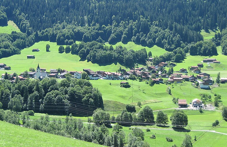
Photo: Parpan05, CC BY-SA 3.0.
Serneus is a village, which is situated 6 km north of Elmerhof.
Elmerhof
- Type: Farmhouse
- Address: Stützalpstrasse 4, Davos Wolfgang, 7265
- Categories: building and agriculture
- Location: Davos, Region Prättigau / Davos, Graubünden, Switzerland, Central Europe, Europe
- View on OpenStreetMap
Latitude
46.83845° or 46° 50′ 18″ northLongitude
9.85008° or 9° 51′ 0″ eastOpen location code
8FRFRVQ2+92OpenStreetMap ID
way 130397364OpenStreetMap feature
building=farm
This page is based on OpenStreetMap, Wikidata, and Wikimedia Commons.
We’d love your help improving our open data sources. Thank you for contributing.
Satellite Map
Discover Elmerhof from above in high-definition satellite imagery.
Places with the Same Name
Discover other places named “Elmerhof”.
Notable Places Nearby
Highlights include Deutscher Soldatenfriedhof and Ruine Laret.
Nearby Places
Explore places such as Hofladen Elmerhof and Davos Laret, Ober Laret.
Graubünden: Must-Visit Destinations
Delve into Chur, St. Moritz, Arosa, and Klosters.
Curious Farmhouses to Discover
Uncover intriguing farmhouses from every corner of the globe.
About Mapcarta. Data © OpenStreetMap contributors and available under the Open Database License". Text is available under the CC BY-SA 4.0 license, except for photos, directions, and the map. Photo: Flyout, CC BY-SA 3.0.