Colectividad Boliviana de Rosario
Colectividad Boliviana de Rosario is a community center in Rosario Department, Santa Fe. Colectividad Boliviana de Rosario is situated nearby to the community center Grupo Scout 768 José Pedroni, as well as near the church Parroquia Espiritu Santo.| Tap on a place to explore it |
Places of Interest Nearby
Highlights include Barrio Vila railway station and Rosario Oeste railway station.
Barrio Vila railway station
Railway station

Photo: Wikimedia, CC BY-SA 2.5.
Barrio Vila is a former train station in Rosario, Santa Fe, Argentina. It is located in the west of the city, in the neighbourhood of Belgrano. Private company Nuevo Central Argentino which runs freight trains on the line, but the station does not have operation since its closure in 1977. Barrio Vila railway station is situated 1 km north of Colectividad Boliviana de Rosario.
Rosario Oeste railway station
Railway station

Photo: Pablo-flores, CC BY-SA 3.0.
Rosario Oeste is a former railway station in Rosario, province of Santa Fe, Argentina. The station, part of the Belgrano Railway network, is located in the west of the city, on the junction of Paraná St. and 9 de Julio streets. Rosario Oeste railway station is situated 1½ km east of Colectividad Boliviana de Rosario.
Patio de la Madera
Marketplace
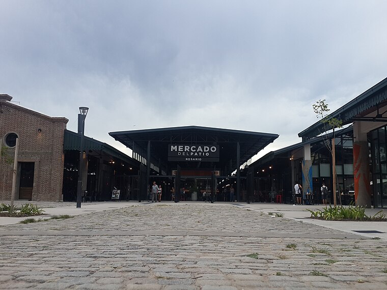
Photo: ElGuruCesar, CC BY-SA 4.0.
The Patio de la Madera, is a "Convention and Exposition Centre" complex located in Rosario, province of Santa Fe, Argentina, occupying two blocks opposite the Mariano Moreno Bus Terminal, near the geographic center of the city. Patio de la Madera is situated 3½ km east of Colectividad Boliviana de Rosario.
Places in the Area
Nearby places include Barrio Echesortu and Rosario.
Barrio Echesortu
Suburb
Echesortu is a barrio in Rosario, Argentina. It is unofficially known by that name even though, from the administrative point of view, its name is Remedios Escalada de San Martín. Barrio Echesortu is situated 2½ km east of Colectividad Boliviana de Rosario.
Rosario

Photo: ElGuruCesar, CC BY-SA 4.0.
Rosario is the third largest city in Argentina and the largest city in Santa Fe province, at the Paraná river. It is known for its rich architectural heritage and beautiful riverside scenery, and offers a vibrant cultural and night life.
Barrio Pichincha
Suburb
Pichincha is a barrio in the city of Rosario, province of Santa Fe, Argentina. It is located on the north-east part of the central area of the city, and its limits are Vera Mujica St, Cordoba St, Oroño Boulevard, and Del Valle Avenue. Barrio Pichincha is situated 4½ km east of Colectividad Boliviana de Rosario.
Colectividad Boliviana de Rosario
- Type: Community center
- Location: Rosario Department, Santa Fe, Pampas, Argentina, South America
- View on OpenStreetMap
Latitude
-32.94924° or 32° 56′ 57″ southLongitude
-60.70788° or 60° 42′ 28″ westOpen location code
47VX372R+8ROpenStreetMap ID
way 1306947650OpenStreetMap feature
amenity=community_centre
This page is based on OpenStreetMap, Wikidata, and Wikimedia Commons.
We’d love your help improving our open data sources. Thank you for contributing.
Satellite Map
Discover Colectividad Boliviana de Rosario from above in high-definition satellite imagery.
Notable Places Nearby
Highlights include Grupo Scout 768 José Pedroni and Parroquia Espiritu Santo.
Nearby Places
Explore places such as El Arca and La Masía Vinoteca.
Curious Community Centers to Discover
Uncover intriguing community centers from every corner of the globe.
About Mapcarta. Data © OpenStreetMap contributors and available under the Open Database License". Text is available under the CC BY-SA 4.0 license, except for photos, directions, and the map. Photo: Wikimedia, CC0.