Aiken County Sage Mill Fire Station
Aiken County Sage Mill Fire Station is a building in Aiken, South Carolina. Aiken County Sage Mill Fire Station is situated nearby to the power station Bridgestone Solar, as well as near the reservoir Eggleston Lake.| Tap on a place to explore it |
Places of Interest Nearby
Highlights include Twin Lakes Airport.
Twin Lakes Airport
Aerodrome
Twin Lakes Airport is a privately owned, public-use airport located four miles northwest of the central business district of Graniteville, in Aiken County, South Carolina, United States. A portion of the airport is also located in Edgefield County. Twin Lakes Airport is situated 2 miles northwest of Aiken County Sage Mill Fire Station.
Places in the Area
Nearby places include Vaucluse and Graniteville.
Vaucluse
Hamlet

Photo: Hughespj, Public domain.
Vaucluse is an unincorporated community in Aiken County in the U.S. state of South Carolina. Vaucluse is part of the Augusta, Georgia metropolitan area. Vaucluse is situated 2½ miles east of Aiken County Sage Mill Fire Station.
Graniteville
Town
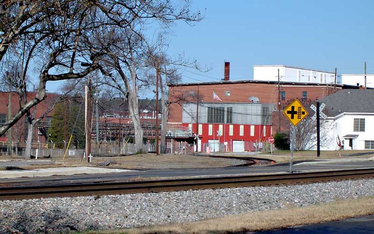
Photo: Hughespj, Public domain.
Graniteville is a census-designated place in Aiken County, South Carolina, United States. The population was 2,614 at the 2010 census. It lies along U.S. Route 1, five miles west of Aiken in Horse Creek Valley, which originates in the nearby town of Vaucluse. Graniteville is situated 4½ miles southeast of Aiken County Sage Mill Fire Station.
Midland Valley
Hamlet
The Midland Valley area is a region in Aiken County, South Carolina consisting of the unincorporated communities of Gloverville, Graniteville, Langley, Vaucluse, Warrenville, Graniteville, Bath, as well as the incorporated town of Burnettown The area is more formally known as the Horse Creek Valley,a large stream in the Savannah River watershed which carved the large valley in the Sandhills. Midland Valley is situated 5 miles south of Aiken County Sage Mill Fire Station.
Aiken County Sage Mill Fire Station
- Type: Building
- Location: Aiken, South Carolina, South, United States, North America
- View on OpenStreetMap
Latitude
33.62034° or 33° 37′ 13″ northLongitude
-81.84833° or 81° 50′ 54″ westOpen location code
865WJ5C2+4MOpenStreetMap ID
way 1311153928OpenStreetMap feature
building=yes
This page is based on OpenStreetMap, Wikidata, and Wikimedia Commons.
We’d love your help improving our open data sources. Thank you for contributing.
Satellite Map
Discover Aiken County Sage Mill Fire Station from above in high-definition satellite imagery.
Notable Places Nearby
Highlights include Bridgestone Solar and MTU Solar Field.
Nearby Places
Explore places such as Motorcycle Parking and Bridgestone Americas Tire Operations, Aiken County PSR Plant.
South Carolina: Must-Visit Destinations
Delve into Columbia, Charleston, Greenville, and Myrtle Beach.
Curious Buildings to Discover
Uncover intriguing buildings from every corner of the globe.
About Mapcarta. Data © OpenStreetMap contributors and available under the Open Database License". Text is available under the CC BY-SA 4.0 license, except for photos, directions, and the map. Photo: Rastapopulous, CC BY-SA 3.0.