Parcours Pitchounes
Parcours Pitchounes is a climbing site in Féy, Arrondissement of Metz-Ville, Grand Est. Parcours Pitchounes is situated nearby to the climbing site Les Cabanes de Pokey, as well as near Bumper Boat.| Tap on a place to explore it |
Places of Interest Nearby
Highlights include Féy German military cemetery and Église Saint-Pierre-aux-Liens de Féy.
Féy German military cemetery
Cemetery

Photo: Aimelaime, CC BY-SA 3.0.
Féy German military cemetery is situated 380 metres southwest of Parcours Pitchounes.
Église Saint-Pierre-aux-Liens de Féy
Church

Photo: Quentinv57, CC BY-SA 3.0.
Église Saint-Pierre-aux-Liens de Féy is a church, which is situated 1 km north of Parcours Pitchounes.
Chapelle Saint-Léonard de Vezon
Church

Photo: Aimelaime, CC BY-SA 3.0.
Chapelle Saint-Léonard de Vezon is a church, which is situated 1½ km south of Parcours Pitchounes.
Places in the Area
Nearby places include Augny and Jouy-aux-Arches.
Augny
Village
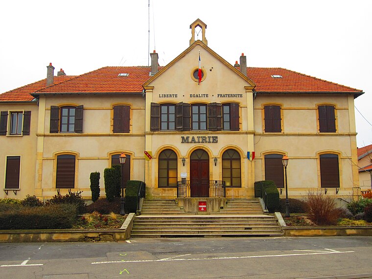
Photo: Aimelaime, CC BY-SA 3.0.
Augny is a commune in the Moselle department in Grand Est in northeastern France. Augny is situated 4½ km north of Parcours Pitchounes.
Jouy-aux-Arches
Village
 Jouy-aux-Arches is a commune in the Moselle department in Grand Est in north-eastern France. The remains of a Roman aqueduct from the 1st century have been preserved on the territory of Jouy-aux-Arches and the neighbouring commune Ars-sur-Moselle. Jouy-aux-Arches is situated 5 km north of Parcours Pitchounes.
Cuvry
Village

Photo: Aimelaime, CC BY-SA 3.0.
Cuvry is a commune in the Moselle department in Grand Est in north-eastern France. Cuvry is situated 5 km northeast of Parcours Pitchounes.
Parcours Pitchounes
- Type: Climbing site
- Categories: tourism, tourist attraction, and sports location
- Location: Féy, Arrondissement of Metz-Ville, Moselle, Grand Est, France, Europe
- View on OpenStreetMap
Latitude
49.02105° or 49° 1′ 16″ northLongitude
6.10064° or 6° 6′ 2″ eastOpen location code
8FX824C2+C7OpenStreetMap ID
way 1312084839OpenStreetMap feature
sport=climbing_adventureOpenStreetMap feature
tourism=attraction
This page is based on OpenStreetMap, Wikidata, and Wikimedia Commons.
We’d love your help improving our open data sources. Thank you for contributing.
Satellite Map
Discover Parcours Pitchounes from above in high-definition satellite imagery.
Places with the Same Name
Discover other places named “Parcours Pitchounes”.
Notable Places Nearby
Highlights include Les Cabanes de Pokey and Ejector.
Nearby Places
Explore places such as L’orée de Pokey and Le gourmand.
Grand Est: Must-Visit Destinations
Delve into Strasbourg, Reims, Metz, and Nancy.
Curious Climbing Sites to Discover
Uncover intriguing climbing sites from every corner of the globe.
About Mapcarta. Data © OpenStreetMap contributors and available under the Open Database License". Text is available under the CC BY-SA 4.0 license, except for photos, directions, and the map. Photo: Cédric Bonhomme, CC BY-SA 3.0.