Parque infantil de Urgencias Pediatricas
Parque infantil de Urgencias Pediatricas is a park in Logroño, La Rioja. Parque infantil de Urgencias Pediatricas is situated nearby to Hospital San Pedro, as well as near School San Pío X.| Tap on a place to explore it |
Places of Interest Nearby
Highlights include School San Pío X and Logroño Railway Station.
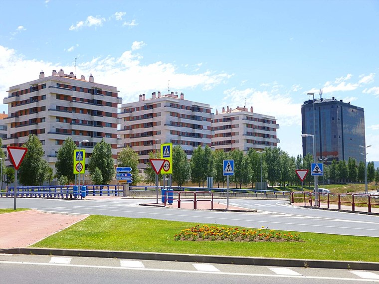
School San Pío X
School

Photo: Jynus, CC BY-SA 4.0.
School San Pío X is situated 220 metres northwest of Parque infantil de Urgencias Pediatricas.
Logroño Railway Station
Railway station

Photo: Pacoperez6, CC BY-SA 4.0.
Logroño Railway Station is the central railway station of Logroño, Spain. Commonly referred locally as the RENFE station, the station is part of Adif and high-speed rail systems. Logroño Railway Station is situated 1½ km northwest of Parque infantil de Urgencias Pediatricas.
Berceo Mall
Shopping center

Photo: Jynus, CC BY-SA 4.0.
Berceo Mall is a shopping center, which is situated 1½ km north of Parque infantil de Urgencias Pediatricas.
Places in the Area
Nearby places include Puente Madre and La Estrella (Logroño).
Puente Madre
Neighborhood

Photo: Jynus, CC BY-SA 4.0.
Puente Madre is a village in the municipality of Villamediana de Iregua, in the province and autonomous community of La Rioja, Spain. As of 2019 had a population of 194 people.

Parque infantil de Urgencias Pediatricas
- Type: Park
- Category: recreation area
- Location: Logroño, La Rioja, Northern Spain, Spain, Iberia, Europe
- View on OpenStreetMap
Latitude
42.45019° or 42° 27′ 1″ northLongitude
-2.42618° or 2° 25′ 34″ westOpen location code
8CJVFH2F+3GOpenStreetMap ID
way 1314648305OpenStreetMap feature
leisure=park
This page is based on OpenStreetMap, Wikidata, and Wikimedia Commons.
We’d love your help improving our open data sources. Thank you for contributing.
Satellite Map
Discover Parque infantil de Urgencias Pediatricas from above in high-definition satellite imagery.
Notable Places Nearby
Highlights include Hospital San Pedro and Colegio de Educación Infantil y Primaria ‘San Pío X’.
Nearby Places
Explore places such as Cafetería del Hospital San Pedro and Aparcamiento Urgencias Hospital San Pedro.
La Rioja: Must-Visit Destinations
Delve into Santo Domingo de la Calzada, Haro, San Millán de la Cogolla, and Ezcaray.
Curious Parks to Discover
Uncover intriguing parks from every corner of the globe.
About Mapcarta. Data © OpenStreetMap contributors and available under the Open Database License". Text is available under the CC BY-SA 4.0 license, except for photos, directions, and the map. Photo: Pablovp, CC BY-SA 4.0.