The Avenue at South Orange
The Avenue at South Orange is a residential area in Essex County, Gateway, New Jersey which is located on Vose Avenue. The Avenue at South Orange is situated nearby to the swimming pool Baby Pool, as well as near Cameron Park.| Tap on a place to explore it |
Places of Interest Nearby
Highlights include Oheb Shalom Congregation and Mountain Station.
Oheb Shalom Congregation
Synagogue
Oheb Shalom Congregation is an egalitarian, Conservative Jewish congregation and synagogue located in South Orange, Essex County, New Jersey, in the United States. Oheb Shalom Congregation is situated 1,200 feet northeast of The Avenue at South Orange.
Mountain Station
Railway station
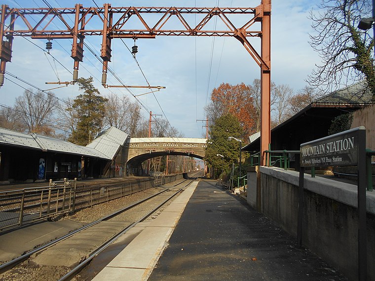
Photo: Wikimedia, CC BY-SA 2.0.
Mountain Station is a New Jersey Transit station in South Orange, Essex County, New Jersey, United States, along the Morris and Essex. The station, built in 1915, was designed by Frank J. Mountain Station is situated 3,400 feet northeast of The Avenue at South Orange.
Places in the Area
Nearby places include Maplewood and The Oranges.
Maplewood

Photo: Jim.henderson, Public domain.
Maplewood is a township in Essex County in the U.S. state of New Jersey. The township is an inner-ring suburban bedroom community of New York City in the New York metropolitan area.
The Oranges
The Oranges are a group of four municipalities in Essex County, New Jersey, all of which have the word Orange in their name. The four municipalities are Orange, East Orange, South Orange and West Orange.Irvington
Town

Photo: Jim.henderson, CC0.
Irvington is a township in Essex County, in the U.S. state of New Jersey. As of the 2020 United States census, the township's population was 61,176, an increase of 7,250 from the 2010 census count of 53,926, which in turn reflected a decline of 6,769 from the 60,695 counted in the 2000 census. Irvington is situated 2 miles southeast of The Avenue at South Orange.
The Avenue at South Orange
- Type: Residential area
- Address: 9 Vose Avenue, South Orange, NJ 07079
- Location: Essex County, Gateway, New Jersey, Mid-Atlantic, United States, North America
- View on OpenStreetMap
Latitude
40.74713° or 40° 44′ 50″ northLongitude
-74.25903° or 74° 15′ 33″ westOpen location code
87G7PPWR+V9OpenStreetMap ID
way 1319367737OpenStreetMap feature
landuse=residential
This page is based on OpenStreetMap, Wikidata, and Wikimedia Commons.
We’d love your help improving our open data sources. Thank you for contributing.
Satellite Map
Discover The Avenue at South Orange from above in high-definition satellite imagery.
Notable Places Nearby
Highlights include Baby Pool and Cameron Park.
Nearby Places
Explore places such as Gaslight Brewery & Restaurant and Wells Fargo.
Essex County: Must-Visit Destinations
Delve into Newark, Newark Liberty International Airport, Montclair, and Maplewood.
Curious Residential Areas to Discover
Uncover intriguing residential areas from every corner of the globe.
About Mapcarta. Data © OpenStreetMap contributors and available under the Open Database License". Text is available under the CC BY-SA 4.0 license, except for photos, directions, and the map. Photo: King of Hearts, CC BY-SA 3.0.