Mönchtalbrücke
Mönchtalbrücke is a bridge in Herzberg am Harz, Göttingen, Lower Saxony. Mönchtalbrücke is situated nearby to the scenic viewpoint Steinberg, as well as near Ritterstein.| Tap on a place to explore it |
Places of Interest Nearby
Highlights include Steinkirche Scharzfeld and Steinberg bei Scharzfeld.
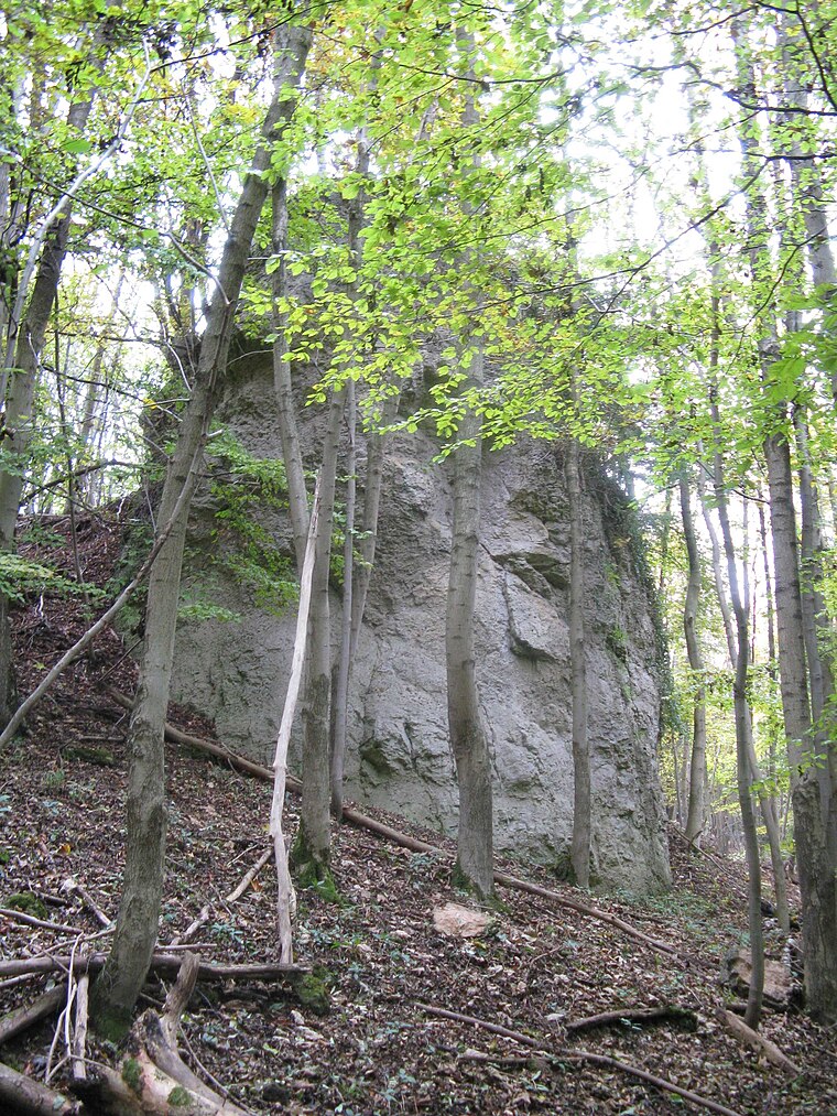
Steinkirche Scharzfeld

Photo: Ragnar1904, CC BY-SA 4.0.
Steinkirche Scharzfeld is situated 250 metres northeast of Mönchtalbrücke.
Steinberg bei Scharzfeld
Nature reserve

Photo: Dehio, CC BY-SA 3.0.
Steinberg bei Scharzfeld is a nature reserve.
Places in the Area
Nearby places include Scharzfeld and Barbis.
Scharzfeld
Village

Photo: Kassandro, CC BY-SA 3.0.
Scharzfeld is a village in the borough of Herzberg am Harz in the district of Göttingen in South Lower Saxony, Germany. Scharzfeld lies at a height of about 220 m above sea level and has 1,765 inhabitants.
Barbis
Village

Photo: Kassandro, CC BY-SA 3.0.
Barbis is a village, which is situated 4 km southeast of Mönchtalbrücke.
Pöhlde
Village
Pöhlde is a village in southern Lower Saxony in Germany. It is part of the town Herzberg am Harz. It has a population of 2207. Archaeological excavation has revealed traces of settlement dating to the 2nd through 4th centuries AD. Pöhlde is situated 4½ km southwest of Mönchtalbrücke.
Mönchtalbrücke
- Type: Bridge
- Category: transportation
- Location: Herzberg am Harz, Göttingen, Southern Lower Saxony, Lower Saxony, Germany, Central Europe, Europe
- View on OpenStreetMap
Latitude
51.63159° or 51° 37′ 54″ northLongitude
10.37593° or 10° 22′ 33″ eastOpen location code
9F3GJ9JG+J9OpenStreetMap ID
way 1322370493OpenStreetMap feature
man_made=bridge
This page is based on OpenStreetMap, Wikidata, and Wikimedia Commons.
We’d love your help improving our open data sources. Thank you for contributing.
Satellite Map
Discover Mönchtalbrücke from above in high-definition satellite imagery.
Notable Places Nearby
Highlights include Steinberg and Ritterstein.
Nearby Places
Explore places such as Wanderparkplatz Steinkirche and Scharzfeld Sattlergasse.
Southern Lower Saxony: Must-Visit Destinations
Delve into Göttingen, Goslar, Hamelin, and Hann. Münden.
Curious Bridges to Discover
Uncover intriguing bridges from every corner of the globe.
About Mapcarta. Data © OpenStreetMap contributors and available under the Open Database License". Text is available under the CC BY-SA 4.0 license, except for photos, directions, and the map. Photo: Wikimedia, CC BY-SA 3.0.