Tartan Senior High
Tartan Senior High is a school in City of Oakdale, Washington, Minnesota. Tartan Senior High is situated nearby to Guthrie Park, as well as near Horseshoe Park.| Tap on a place to explore it |
Places of Interest Nearby
Highlights include St. Paul Minnesota Temple and Sun Ray Branch Library.
St. Paul Minnesota Temple
Church

Photo: wren aka Renee, CC BY-SA 2.0.
The St. Paul Minnesota Temple is the 69th operating temple of the Church of Jesus Christ of Latter-day Saints. The intent to build the temple was announced on July 29, 1998, in a letter from the First Presidency to local church leaders. St. Paul Minnesota Temple is situated 1¼ miles north of Tartan Senior High.
Sun Ray Branch Library
Library

Photo: McGhiever, CC BY-SA 4.0.
Sun Ray Branch Library is situated 2 miles west of Tartan Senior High.
Places in the Area
Nearby places include Landfall and Oakdale.
Landfall
Village
Landfall is a city in Washington County, Minnesota, United States. The population was 843 at the 2020 census and is the smallest community in Washington County in terms of area.
Oakdale
Town

Photo: 1014cd, CC BY-SA 3.0.
Oakdale is a city in Washington County, Minnesota, United States. It is a suburb of Saint Paul and is on the eastern side of the Twin Cities Metropolitan area. Oakdale is situated 1½ miles north of Tartan Senior High.
Woodbury
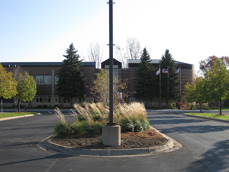
Photo: Iulus Ascanius, Public domain.
Woodbury is a city in Washington County, Minnesota, United States, eight miles east of Saint Paul along Interstate 94. It is part of the Minneapolis–Saint Paul metropolitan area.
Tartan Senior High
- Type: School
- Category: education
- Location: City of Oakdale, Washington, Minnesota, Midwest, United States, North America
- View on OpenStreetMap
Latitude
44.96135° or 44° 57′ 41″ northLongitude
-92.97311° or 92° 58′ 23″ westOpen location code
86P9X26G+GQOpenStreetMap ID
way 1322682236OpenStreetMap feature
amenity=school
This page is based on OpenStreetMap, Wikidata, and Wikimedia Commons.
We’d love your help improving our open data sources. Thank you for contributing.
Satellite Map
Discover Tartan Senior High from above in high-definition satellite imagery.
Notable Places Nearby
Highlights include Guthrie Park and Horseshoe Park.
Nearby Places
Explore places such as 10th Street & Granada Avenue and 10th Street & Greenway Avenue.
Minnesota: Must-Visit Destinations
Delve into Minneapolis, Saint Paul, Duluth, and Rochester.
Curious Schools to Discover
Uncover intriguing schools from every corner of the globe.
About Mapcarta. Data © OpenStreetMap contributors and available under the Open Database License". Text is available under the CC BY-SA 4.0 license, except for photos, directions, and the map. Photo: Wikimedia, CC0.