Naturparkcamp Rechitz
Naturparkcamp Rechitz is a campsite in Rechnitz, Oberwart District, Burgenland. Naturparkcamp Rechitz is situated nearby to the chapel Fatimakapelle, Rechnitz, as well as near the cave Asbestwerkstollen III.| Tap on a place to explore it |
Places of Interest Nearby
Highlights include Fatimakapelle, Rechnitz and Jüdischer Friedhof Rechnitz.
Fatimakapelle, Rechnitz
Chapel

Photo: Stefan Fadinger, CC BY-SA 4.0.
Fatimakapelle, Rechnitz is a chapel, which is situated 250 metres east of Naturparkcamp Rechitz.
Jüdischer Friedhof Rechnitz
Cemetery

Photo: Stefan Fadinger, CC BY-SA 4.0.
Jüdischer Friedhof Rechnitz is a cemetery, which is situated 600 metres east of Naturparkcamp Rechitz.
Rechnitz Protestant Cemetery
Cemetery

Photo: Stefan Fadinger, CC BY-SA 4.0.
Rechnitz Protestant Cemetery is situated 660 metres northeast of Naturparkcamp Rechitz.
Places in the Area
Nearby places include Dürnbach im Burgenland and Bozsok.
Dürnbach im Burgenland
Village
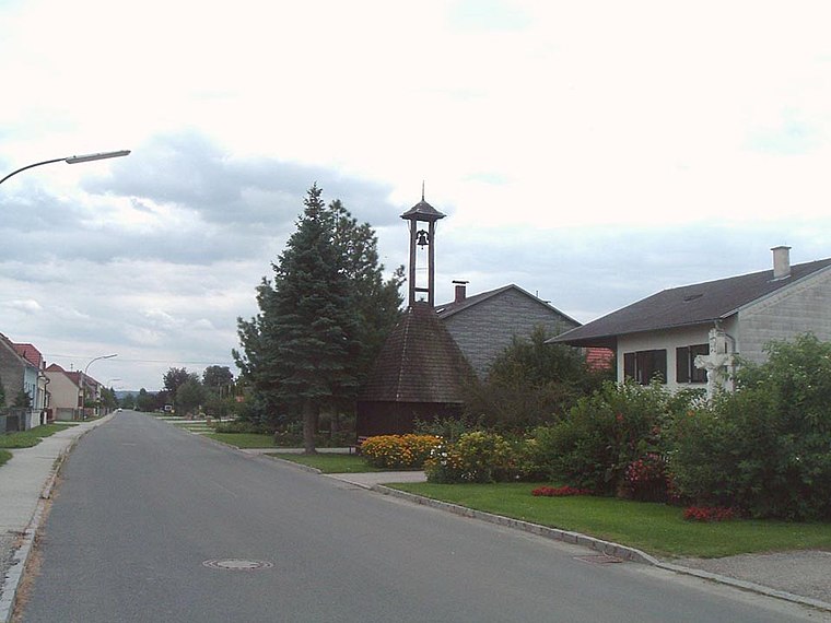
Photo: Wikimedia, Public domain.
Dürnbach im Burgenland is a village, which is situated 5 km southwest of Naturparkcamp Rechitz.
Bozsok
Village

Photo: Pan Peter12, CC BY 3.0.
Bozsok is a village in Vas County, Hungary. It is mentioned in some records from the 13th century. It is near the remains of some Roman water pipes. It lies at the foot of the Kőszeg Mountains on the border with Austria, having Rechnitz on the other side. Bozsok is situated 5 km northeast of Naturparkcamp Rechitz.
Oberpodgoria
Village

Photo: Wikimedia, Public domain.
Oberpodgoria is a village, which is situated 7 km west of Naturparkcamp Rechitz.
Naturparkcamp Rechitz
- Type: Campsite
- Categories: tourism and camping
- Location: Rechnitz, Oberwart District, Burgenland, Austria, Central Europe, Europe
- View on OpenStreetMap
Latitude
47.30131° or 47° 18′ 5″ northLongitude
16.42727° or 16° 25′ 38″ eastOpen location code
8FVR8C2G+GWOpenStreetMap ID
way 1328593006OpenStreetMap feature
tourism=camp_site
This page is based on OpenStreetMap, Wikidata, and Wikimedia Commons.
We’d love your help improving our open data sources. Thank you for contributing.
Satellite Map
Discover Naturparkcamp Rechitz from above in high-definition satellite imagery.
Notable Places Nearby
Highlights include Asbestwerkstollen III and Asbestwerkstollen II.
Nearby Places
Explore places such as Fernheizwerk and Pulverhaus.
Burgenland: Must-Visit Destinations
Delve into Eisenstadt, Neusiedl am See, Rust, and Güssing.
Curious Campsites to Discover
Uncover intriguing campsites from every corner of the globe.
About Mapcarta. Data © OpenStreetMap contributors and available under the Open Database License". Text is available under the CC BY-SA 4.0 license, except for photos, directions, and the map. Photo: Wikimedia, CC BY-SA 4.0.