Kreuzberger Kinderstiftung
Kreuzberger Kinderstiftung is a community center in Berlin, Berlin which is located on Ratiborstraße. Kreuzberger Kinderstiftung is situated nearby to the park Studentenbad, as well as near the playground Ritterspielplatz.| Tap on a place to explore it |
- Type: Community center
- Address: Ratiborstraße 14a, Kreuzberg, Berlin, 10999
- Roof shape: gabled
- Wheelchair access: limited
Places of Interest Nearby
Highlights include Marthakirche and Thielenbrücke.
Marthakirche
Church
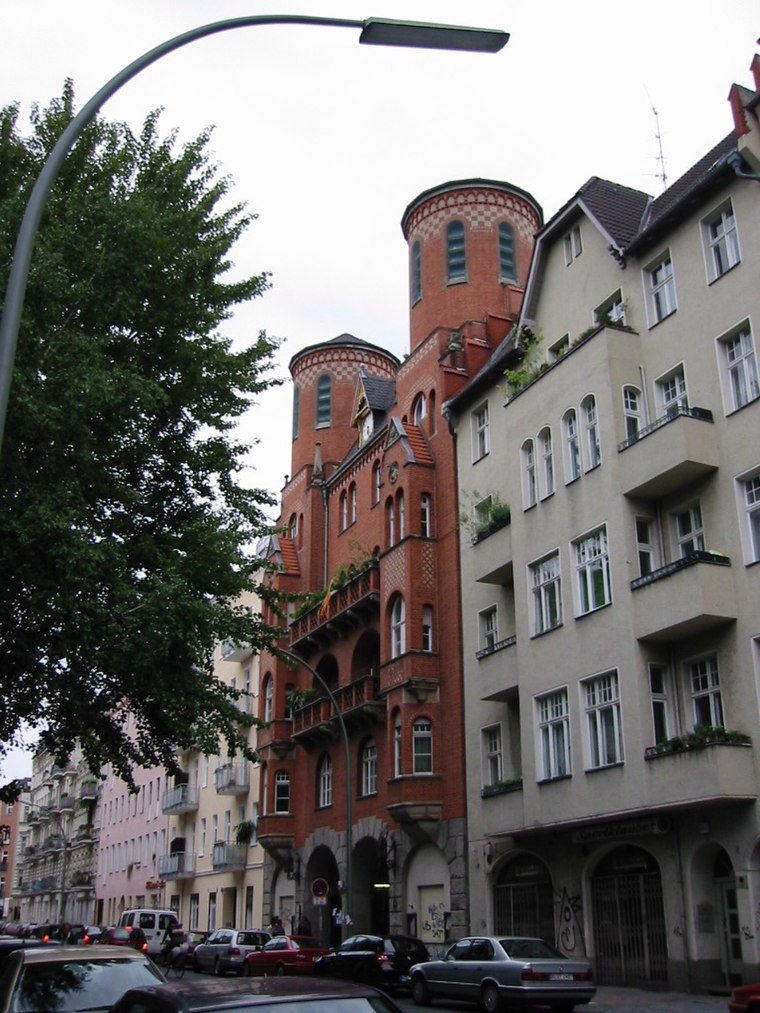
Photo: Lorem ipsum, CC BY-SA 2.0 de.
Marthakirche is a church, which is situated 150 metres north of Kreuzberger Kinderstiftung.
Thielenbrücke
Bridge
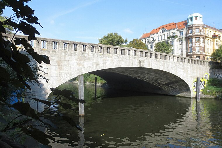
Photo: Jörg Zägel, CC BY-SA 3.0.
Thielenbrücke is a bridge, which is situated 170 metres west of Kreuzberger Kinderstiftung.
Lohmühlenbrücke
Bridge

Photo: Georg Slickers, CC BY-SA 3.0.
Lohmühlenbrücke is a bridge, which is situated 210 metres southeast of Kreuzberger Kinderstiftung.
Places in the Area
Nearby places include East Central and Mediaspree.
East Central

Photo: El passs, Public domain.
East Central is a trendy, bohemian, artsy area that consists of Kreuzberg, Friedrichshain, Prenzlauer Berg, Wedding and Gesundbrunnen. The western district Kreuzberg was merged with the eastern district Friedrichshain in 2001.
Mediaspree
Quarter

Photo: Jenny Paul, CC BY-SA 4.0.
Mediaspree is one of the largest property investment projects in Berlin. It aims to establish telecommunication and media companies along a section of the banks of the river Spree as well as to implement an urban renewal of the surrounding area.
Rollbergsiedlung
Neighborhood

Photo: Lienhard Schulz, CC BY-SA 3.0.
Rollbergsiedlung is a neighborhood.
Kreuzberger Kinderstiftung
- Categories: building and residential building
- Location: Berlin, Berlin, Stadt, Berlin, Germany, Central Europe, Europe
- View on OpenStreetMap
Latitude
52.49112° or 52° 29′ 28″ northLongitude
13.4378° or 13° 26′ 16″ eastInception
1891Levels
1Open location code
9F4MFCRQ+C4OpenStreetMap ID
way 132917076OpenStreetMap feature
amenity=community_centreOpenStreetMap feature
building=residentialOpenStreetMap attribute
roof-shape=gabledOpenStreetMap attribute
wheelchair=limited
This page is based on OpenStreetMap, Wikidata, and Wikimedia Commons.
We’d love your help improving our open data sources. Thank you for contributing.
Satellite Map
Discover Kreuzberger Kinderstiftung from above in high-definition satellite imagery.
Notable Places Nearby
Highlights include Studentenbad and Peace Yoga Berlin.
Nearby Places
Explore places such as Jockel and KFZ Borchert.
Berlin: Must-Visit Destinations
Delve into Mitte, East Central, City West, and East Berlin.
Curious Community Centers to Discover
Uncover intriguing community centers from every corner of the globe.
About Mapcarta. Data © OpenStreetMap contributors and available under the Open Database License". Text is available under the CC BY-SA 4.0 license, except for photos, directions, and the map. Photo: Berthold Werner, CC BY-SA 3.0.