Estação Atuba
Estação Atuba is a building in Curitiba, Grande Curitiba, Paraná. Estação Atuba is situated nearby to the park Praça Doutor Carlos Guillen, as well as near Praça João Tataren.| Tap on a place to explore it |
Places of Interest Nearby
Highlights include AMORC Building in Curitiba and Bacacheri Airport.
AMORC Building in Curitiba
Museum

Photo: Evelimlamaiara, CC BY-SA 4.0.
AMORC Building in Curitiba is a museum, which is situated 2½ km west of Estação Atuba.
Bacacheri Airport
Aerodrome

Photo: DAR7, CC BY-SA 4.0.
Bacacheri Airport is an airport in Curitiba, Brazil. It is named after the neighbourhood where it is located. It is operated by CCR. Bacacheri Airport is situated 3½ km southwest of Estação Atuba.
Bacacheri Park
Park
Bacacheri Park is a park located in Curitiba, state of Paraná, Brazil… Bacacheri Park is situated 3 km west of Estação Atuba.
Places in the Area
Nearby places include Pinhais and Civic Center.
Pinhais

Photo: KikoCorreia, CC BY 3.0.
Pinhais is a municipality in Paraná state in Brazil. As of 2020, the population was 133,490. It was emancipated from the municipality of Piraquara in 1992 and is part of the Metropolitan region of Curitiba. It is the smallest municipality in Paraná by area.
Civic Center
Suburb
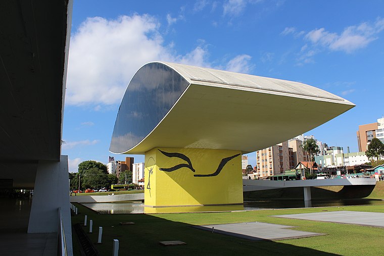
Photo: Cassia Naomi Nakai, CC BY-SA 4.0.
Curitiba is the capital and largest city in the state of Paraná in Southern Brazil. The city's population was 1,829,225 as of 2024, making it the eighth most populous city in Brazil and the largest in Brazil's South Region. Civic Center is situated 7 km southwest of Estação Atuba.
Curitiba Historical Centre
Neighborhood

Photo: KikoCorreia, CC BY-SA 2.5 br.
Curitiba Historical Centre is a neighborhood, which is situated 9 km southwest of Estação Atuba.
Estação Atuba
- Type: Public transport
- Wheelchair access: yes
- Categories: building, bus stop, and transportation
- Location: Curitiba, Grande Curitiba, Paraná, South, Brazil, South America
- View on OpenStreetMap
Latitude
-25.38588° or 25° 23′ 9″ southLongitude
-49.20332° or 49° 12′ 12″ westNetwork
Rede Integrada de TransporteOpen location code
586GJQ7W+JMOpenStreetMap ID
way 1331122285OpenStreetMap feature
building=transportationOpenStreetMap feature
highway=bus_stopOpenStreetMap feature
public_transport=platformOpenStreetMap attribute
wheelchair=yes
This page is based on OpenStreetMap, Wikidata, and Wikimedia Commons.
We’d love your help improving our open data sources. Thank you for contributing.
Satellite Map
Discover Estação Atuba from above in high-definition satellite imagery.
Notable Places Nearby
Highlights include Praça Doutor Carlos Guillen and Praça João Tataren.
Nearby Places
Explore places such as Estação Atuba and Posto Ipiranga.
Grande Curitiba: Must-Visit Destinations
Delve into Colombo, Pinhais, Campo Largo, and Mandirituba.
Curious Places to Discover
Uncover intriguing places from every corner of the globe.
About Mapcarta. Data © OpenStreetMap contributors and available under the Open Database License". Text is available under the CC BY-SA 4.0 license, except for photos, directions, and the map. Photo: Squibb, CC BY 2.5.