Centro de Interpretación Paco de Lucía
Centro de Interpretación Paco de Lucía is a community center in Algeciras, Cádiz, Andalusia which is located on Calle Ruiz Zorrilla. Centro de Interpretación Paco de Lucía is situated nearby to Plaza Andalucía, as well as near the post office Oficina de Correos.| Tap on a place to explore it |
Places of Interest Nearby
Highlights include Algeciras Town Hall and María Cristina Park.
Algeciras Town Hall
Town hall

Photo: Wikimedia, CC BY-SA 4.0.
Algeciras Town Hall is the town hall of Algeciras, Spain, located at number 12 Calle Alfonso XI, also known as Calle Convento. The building was completed in 1897 and today houses much of City Council, including the offices of the Mayor, Secretary, and Press Office. Algeciras Town Hall is situated 370 metres east of Centro de Interpretación Paco de Lucía.
María Cristina Park
Park

Photo: Falconaumanni, CC BY-SA 3.0.
Parque María Cristina is a park in Algeciras, southeastern Spain. It is bordered by Calle de Ramón y Cajal to the north, Calle Capitán Ontañón to the east, Avenida de Blas Infante to the south, and Avenida de las Fuerzas Armadas to the east.
Marinid Walls of Algeciras
Archaeological site

Photo: Falconaumanni, CC BY-SA 4.0.
The Marinid Walls of Algeciras are city walls located in Algeciras, Spain. The walls were declared Bien de Interés Cultural in 1985. The dating of the walls is complicated. Marinid Walls of Algeciras is situated 490 metres northeast of Centro de Interpretación Paco de Lucía.
Places in the Area
Nearby places include Palmones and Los Cortijillos.
Palmones
Village
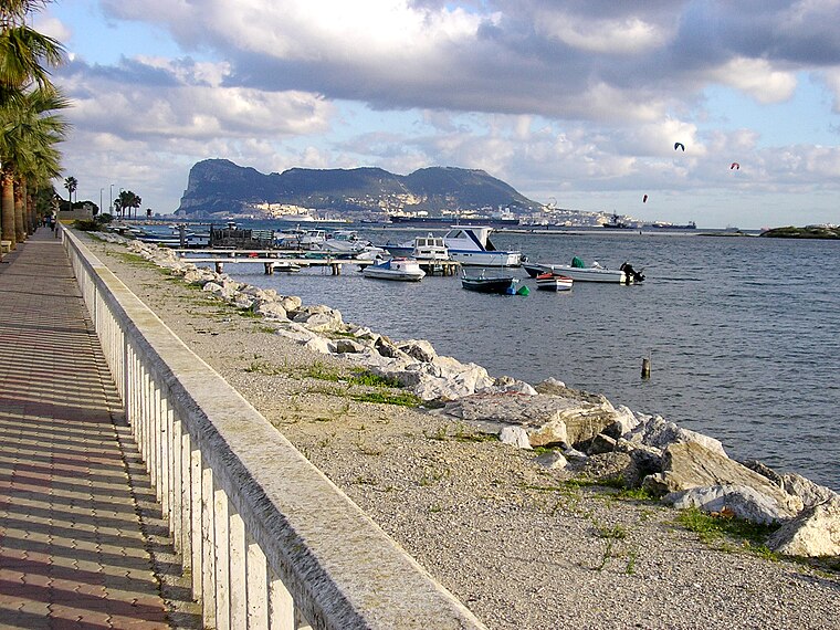
Photo: Falconaumanni, CC BY-SA 4.0.
Palmones is a village on the Bay of Gibraltar between Algeciras and La Linea de la Concepcion in the Province of Cádiz in Spain. The San Roque Refinery and Los Barrios commercial centre lie on either side of the town. Palmones is situated 5 km north of Centro de Interpretación Paco de Lucía.
Los Cortijillos
Village

Photo: El Pantera, CC BY-SA 4.0.
Los Cortijillos is a village and district of the Spanish municipality of Los Barrios of the Province of Cádiz, Andalucia, Spain. It is located six kilometres east of the main town of the municipality, just south of Guadacorte, between Gibraltar and Algeciras. Los Cortijillos is situated 6 km north of Centro de Interpretación Paco de Lucía.
Guadarranque
Hamlet

Photo: Ambil, Public domain.
Guadarranque is a hamlet, which is situated 7 km northeast of Centro de Interpretación Paco de Lucía.
Centro de Interpretación Paco de Lucía
- Type: Community center
- Address: Calle Ruiz Zorrilla, Algeciras, 11201
- Location: Algeciras, Cádiz, Andalusia, Spain, Iberia, Europe
- View on OpenStreetMap
Latitude
36.13186° or 36° 7′ 55″ northLongitude
-5.45201° or 5° 27′ 7″ westOperator
Ayuntamiento de AlgecirasOpen location code
8C8P4GJX+P5OpenStreetMap ID
way 1333799066OpenStreetMap feature
amenity=community_centre
This page is based on OpenStreetMap, Wikidata, and Wikimedia Commons.
We’d love your help improving our open data sources. Thank you for contributing.
Satellite Map
Discover Centro de Interpretación Paco de Lucía from above in high-definition satellite imagery.
Notable Places Nearby
Highlights include Plaza Andalucía and Oficina de Correos.
Nearby Places
Explore places such as Citroën and Avenida Blas Infante - Plaza Andalucía.
Cádiz: Must-Visit Destinations
Delve into Cádiz, Jerez de la Frontera, Tarifa, and El Puerto de Santa María.
Curious Community Centers to Discover
Uncover intriguing community centers from every corner of the globe.
About Mapcarta. Data © OpenStreetMap contributors and available under the Open Database License". Text is available under the CC BY-SA 4.0 license, except for photos, directions, and the map. Photo: Falconaumanni, CC BY 3.0.