Zugspitz Stub’n
Zugspitz Stub’n is a kiosk in Augsburg, Bavarian Swabia, Bavaria. Zugspitz Stub’n is situated nearby to the church St. Konrad, as well as near the suburb Augsburg-Bärenkeller.| Tap on a place to explore it |
Places of Interest Nearby
Highlights include Gasbehälter Augsburg and Augsburg Hospital.
Gasbehälter Augsburg
Scenic viewpoint

Photo: Smiffi48, CC BY-SA 3.0.
Gasbehälter Augsburg is a scenic viewpoint, which is situated 1¼ km southeast of Zugspitz Stub’n.
Augsburg Hospital
Hospital

Photo: Wikimedia, CC BY-SA 3.0.
University Hospital Augsburg is with about 1,750 beds one of the largest medical centers in Germany located in Augsburg. It is a teaching hospital of the Universität Augsburg and the only hospital of maximal care in Swabia. Augsburg Hospital is situated 2 km southwest of Zugspitz Stub’n.
Josefinum
Hospital
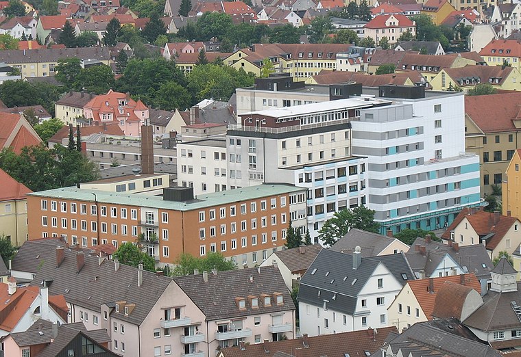
Photo: Martini171, CC BY-SA 3.0.
Josefinum is a hospital, which is situated 2 km southeast of Zugspitz Stub’n.
Places in the Area
Nearby places include Augsburg-Bärenkeller and Neusäß.
Augsburg-Bärenkeller
Suburb
Bärenkeller is one of the seventeen highest level civic divisions, or Planungsräume, of the city of Augsburg, Bavaria, Germany. It is located in the northwestern portion of the city and consists of only one Stadtbezirk, or ward, 23 Bärenkeller, with which it is coterminous.
Neusäß
Town

Photo: Neitram, CC BY-SA 3.0.
Neusäß, also given in English as Neusaess, is a town in the District of Augsburg, Bavaria, Germany. The town lies on the Schmutter river and borders the city of Augsburg. As of 2018, the city had 22,164 inhabitants.
Augsburg-Oberhausen
Suburb
Oberhausen is one of the seventeen Planungsräume of the city of Augsburg, Bavaria, Germany. Located in the northern portion of the city, it is home to 29,044 residents as of December 31, 2022, making it one of the larger planning districts in terms of population.
Zugspitz Stub’n
- Type: Kiosk
- Categories: building and shop
- Location: Augsburg, Bavarian Swabia, Bavaria, Germany, Central Europe, Europe
- View on OpenStreetMap
Latitude
48.3975° or 48° 23′ 51″ northLongitude
10.85828° or 10° 51′ 30″ eastOpen location code
8FWG9VW5+X8OpenStreetMap ID
way 133562466OpenStreetMap feature
building=yesOpenStreetMap feature
shop=kiosk
This page is based on OpenStreetMap, Wikidata, and Wikimedia Commons.
We’d love your help improving our open data sources. Thank you for contributing.
Satellite Map
Discover Zugspitz Stub’n from above in high-definition satellite imagery.
Notable Places Nearby
Highlights include St. Konrad and Erlöserkirche.
Nearby Places
Explore places such as Wertinger Straße and Stadtsparkasse Beratungs-Center.
Bavarian Swabia: Must-Visit Destinations
Delve into Memmingen, Kempten, Füssen, and Lindau.
Curious Kiosks to Discover
Uncover intriguing kiosks from every corner of the globe.
About Mapcarta. Data © OpenStreetMap contributors and available under the Open Database License". Text is available under the CC BY-SA 4.0 license, except for photos, directions, and the map. Photo: Tilman2007, CC BY-SA 3.0.